Weather
CA's Wild Winter Forecast: Here's What Farmers’ Almanac Predicts
Federal meteorologists and almanac experts anticipate a season of varying weather extremes across the nation.


An El Niño climate pattern is expected to intensify through the end of the year, setting up a winter pattern that could have significant implications for California, according to federal forecasters and the Farmers’ Almanac.
The National Weather Service’s Climate Prediction Center said Monday that El Niño is strengthening, with ocean temperatures continuing to warm across the central and eastern equatorial Pacific and atmospheric changes reinforcing the pattern.
Meanwhile, the Farmers’ Almanac 2026-27 winter outlook predicts a season of sharp contrasts across the country, with a wetter, stormier southern tier, quick bursts of snow and bitter cold across the North, and a tricky mix of rain, sleet, ice and heavy wet snow in the Northeast.
Find out what's happening in Across Californiafor free with the latest updates from Patch.
What Can California Expect?
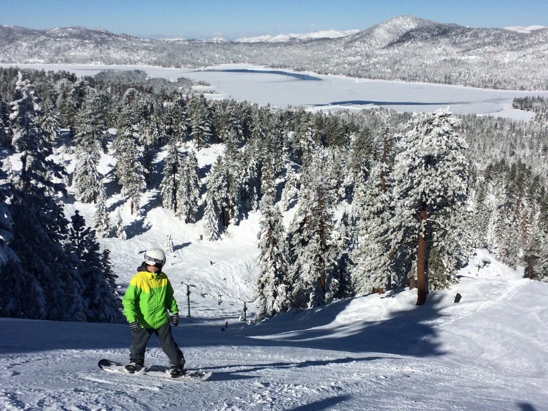
The Almanac says California can expect a wetter and stormier winter, with an active southern storm track expected to bring heavier-than-normal precipitation. Frequent storms could deliver periods of heavy rain along with occasional mixed precipitation and snow, particularly when colder air moves into the state.
Southern California is expected to see especially frequent storm systems, while generally mild temperatures could mean more precipitation falls as rain rather than snow in some mountain areas. The outlook also points to a more variable and less dependable snow season in the Pacific Northwest.
Find out what's happening in Across Californiafor free with the latest updates from Patch.
El Niño figures heavily into the Almanac’s national outlook. It said the pattern is expected to remain an important influence through the heart of winter, favoring wetter-than-normal conditions across much of the southern U.S.
An active storm track may stretch from Southern California and the Desert Southwest through Texas, the Gulf Coast and Southeast. Those areas could see frequent storm systems and occasional surges of cold air.
When colder air collides with that moisture, some storms could produce sleet, freezing rain or heavy wet snow. The southern Rockies could also see substantial mountain snowfall.
What’s Happening Elsewhere?
Here’s what the Farmers’ Almanac expects for the rest of the country:
Northern Rockies and Northern Plains: Temperatures are expected to average near normal overall, but that doesn’t mean winter will be mild. Fast-moving systems could bring sudden cold snaps, snow and blustery conditions.
South Central: Winter is expected to be wetter than normal and stormy, especially as systems move through Texas and the Gulf Coast. Occasional pushes of colder air could turn some of that precipitation into sleet, freezing rain or snow.
Great Lakes, Ohio Valley and Midwest: The forecast calls for cold and snowy periods mixed with occasional milder breaks. The Almanac said fast-moving clippers could produce snow squalls, gusty winds and bursts of bitter cold. The middle of the country may also see frequent swings between thawing and freezing, which could quickly change road conditions.
Southeast: Winter is expected to be cool, wet and stormy as the southern storm track sends repeated systems through the region. If colder air pushes far enough south, some storms could produce sleet, freezing rain or wet snow.
Northeast and New England: These regions could see one of the more complicated winter patterns. Coastal communities may see more rain or mixed precipitation, while inland areas could get several rounds of heavy wet snow, particularly in January and February. Small changes in temperature and storm track could determine whether a storm produces rain, sleet, freezing rain or accumulating snow.
Overall, the Almanac expects some of the heaviest precipitation along two main tracks.
One could run from California and the Southwest through Texas, the Gulf Coast and the Southeast. Another could carry storms up the Eastern Seaboard, creating additional chances for rain, wintry mixes and snow from the mid-Atlantic into New England.
Because temperatures may hover near freezing in some areas, precipitation type could be particularly difficult to pin down, the Almanac said. A small shift in temperature or storm direction could turn cold rain into an icy mix or change a slushy snowfall into a more significant winter storm.
More California News:
- Watch: Rhino Mom Sets Rules For Newcomer, Ongava, In NorCal Preserve
- Homeless Shelter Workers Harbored Gunman Who Shot Officer In SF: Police
- Eagle Nesting With Shadow Likely To Become New Mate Following Jackie's Death: Report
- Aisha Wahab Wins Special Election To Fill Swalwell's Seat
- Lettuce Linked To Parasitic Outbreak May Have Reached CA Restaurants, FDA Now Says
- FBI Raids Swalwell's Home, Seizes Devices In Sexual Assault Investigation: Reports
- Diane Warren Adopts Viral Runaway West Hollywood Pig: Report
Get more local news delivered straight to your inbox. Sign up for free Patch newsletters and alerts.