Weather
Severe Storms Return To VA This Week: See Timing, Forecast
Intense heat and humidity will also make a comeback ahead of the wrost, with high temperatures reaching the mid-90s later this week

Sunny and cooler conditions are expected across Virginia on Tuesday before temperatures climb yet again and unsettled weather returns to the northern part of the state later this week, according to the latest forecasts.
Tuesday should be mostly sunny with a high around 80 degrees. Heading into Wednesday, there's a chance of showers, mainly between 4 a.m. and 5 a.m., according to the National Weather Service.
Wednesday will be warmer with high temperatures in the upper 80s. There's also a slight chance of showers before 4 p.m., then another chance of showers and thunderstorms between 4 p.m. and 5 p.m.
Find out what's happening in Baltimorefor free with the latest updates from Patch.
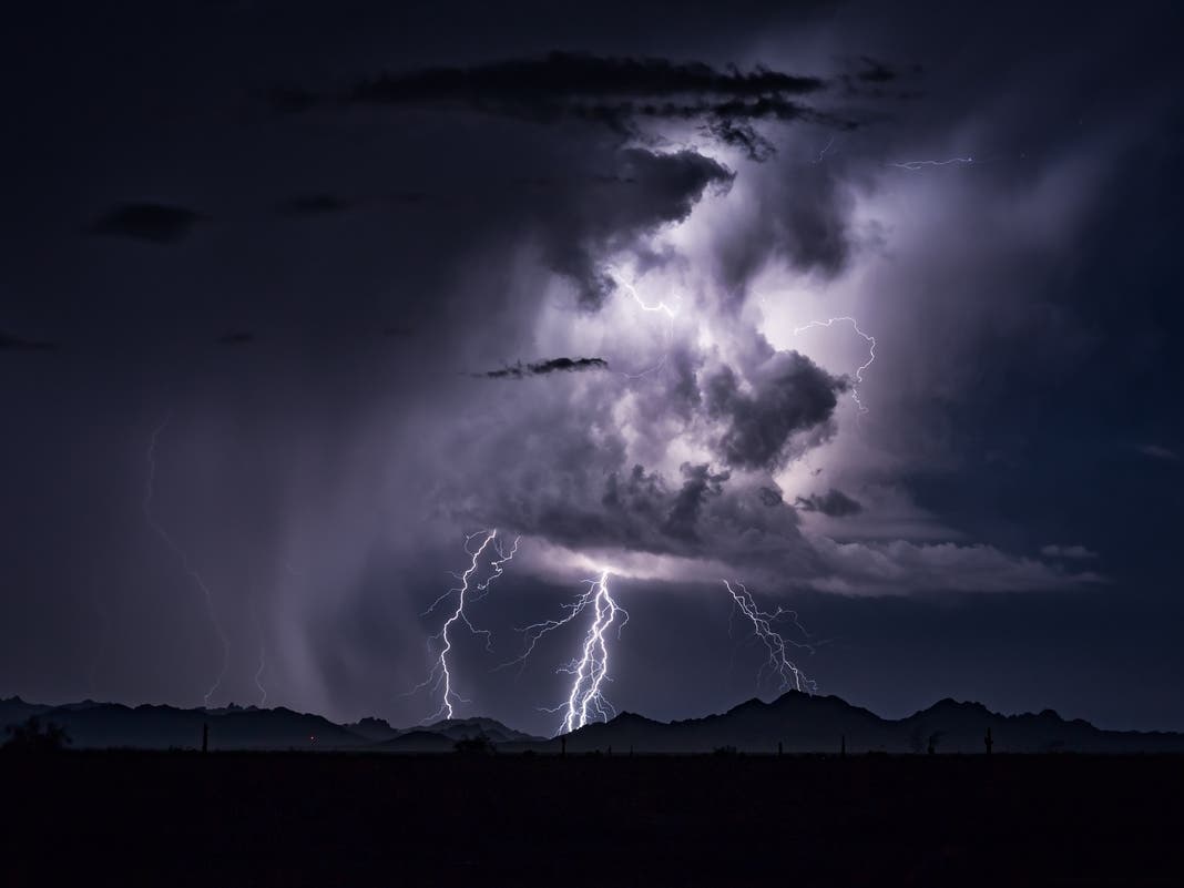
By Thursday, the risk of strong-to-severe storms returns as a new front moves through Northern Virginia, according to forecasts.
Intense heat and humidity will also make a comeback ahead of any severe weather, with high temperatures reaching the mid-90s and dew points in the mid- to upper 60s on Thursday.
Find out what's happening in Baltimorefor free with the latest updates from Patch.
As of now, the Storm Prediction Center has the entire D.C. region at a Slight Risk for severe thunderstorms on Thursday and Thursday night.
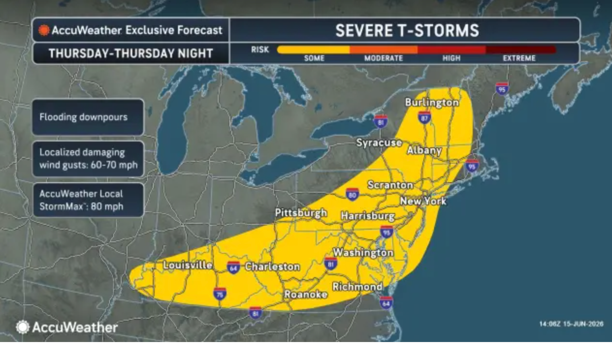
The main threats from Thursday's storms will be strong wind gusts and flooding downpours, according to AccuWeather, which warned gusts could reach up to 80 mph on Thursday.
"As the storms approach and pass through the airport hubs, flight delays and cancellations will increase," AccuWeather wrote.
Currently, the National Weather Service predicts storms will likely move into the region after 2 p.m. Thursday and linger into the overnight hours.
The front moving through the region should exit the state by Thursday night and bring a refreshing cool and dry airmass from the northwest for Friday through the weekend. High temperatures in the upper 70s and lower 80s are expected over the upcoming weekend, with dew points dropping into the 50s.
Here's a look at the detailed forecast for Northern Virginia:
Tuesday Afternoon: Sunny, with a high near 80. Southwest wind 3 to 5 mph.
Tuesday Night: A slight chance of showers between 4am and 5am. Increasing clouds, with a low around 62. Southeast wind 3 to 6 mph. Chance of precipitation is 20%.
Wednesday: Mostly sunny, with a high near 88. Light southwest wind increasing to 5 to 9 mph in the morning.
Wednesday Night: Partly cloudy, with a low around 67. South wind around 6 mph becoming calm.
Thursday: A slight chance of showers, then a chance of showers and thunderstorms after 2pm. Mostly sunny, with a high near 94. Southwest wind 14 to 17 mph, with gusts as high as 31 mph. Chance of precipitation is 40%.
Thursday Night: A chance of showers and thunderstorms. Mostly cloudy, with a low around 67. Chance of precipitation is 40%.
Friday: A chance of showers, with thunderstorms also possible after 2pm. Partly sunny, with a high near 83. Chance of precipitation is 50%.
Friday Night: Partly cloudy, with a low around 61.
Saturday: Sunny, with a high near 83.
Saturday Night: Mostly clear, with a low around 61.
Sunday: Sunny, with a high near 86.
Get more local news delivered straight to your inbox. Sign up for free Patch newsletters and alerts.