Weather
Wintry MA Weekend Gives Way To Big Warmup: When Will Temps Take Turn?
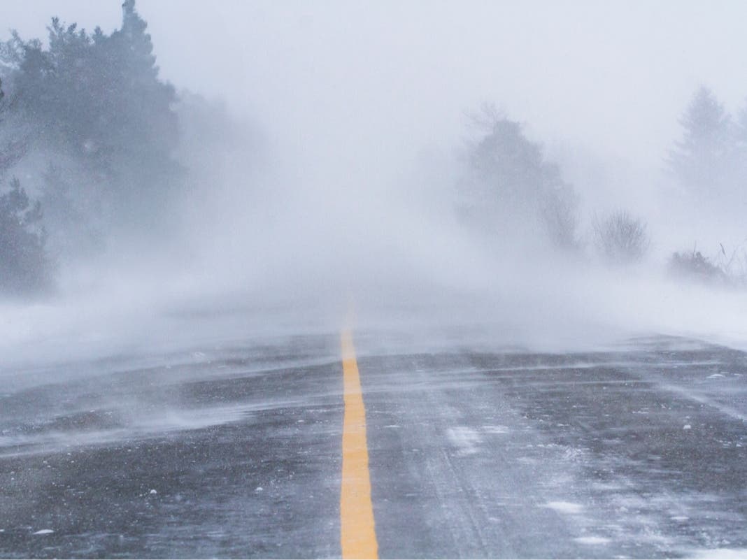
Up to 3 inches of snow fell in parts of Massachusetts early Friday morning.


An early-season blast of winter will soon take a turn back toward more of a September feel across Massachusetts as temperatures bottom out in the 20s this weekend before reaching back near 70 next week.
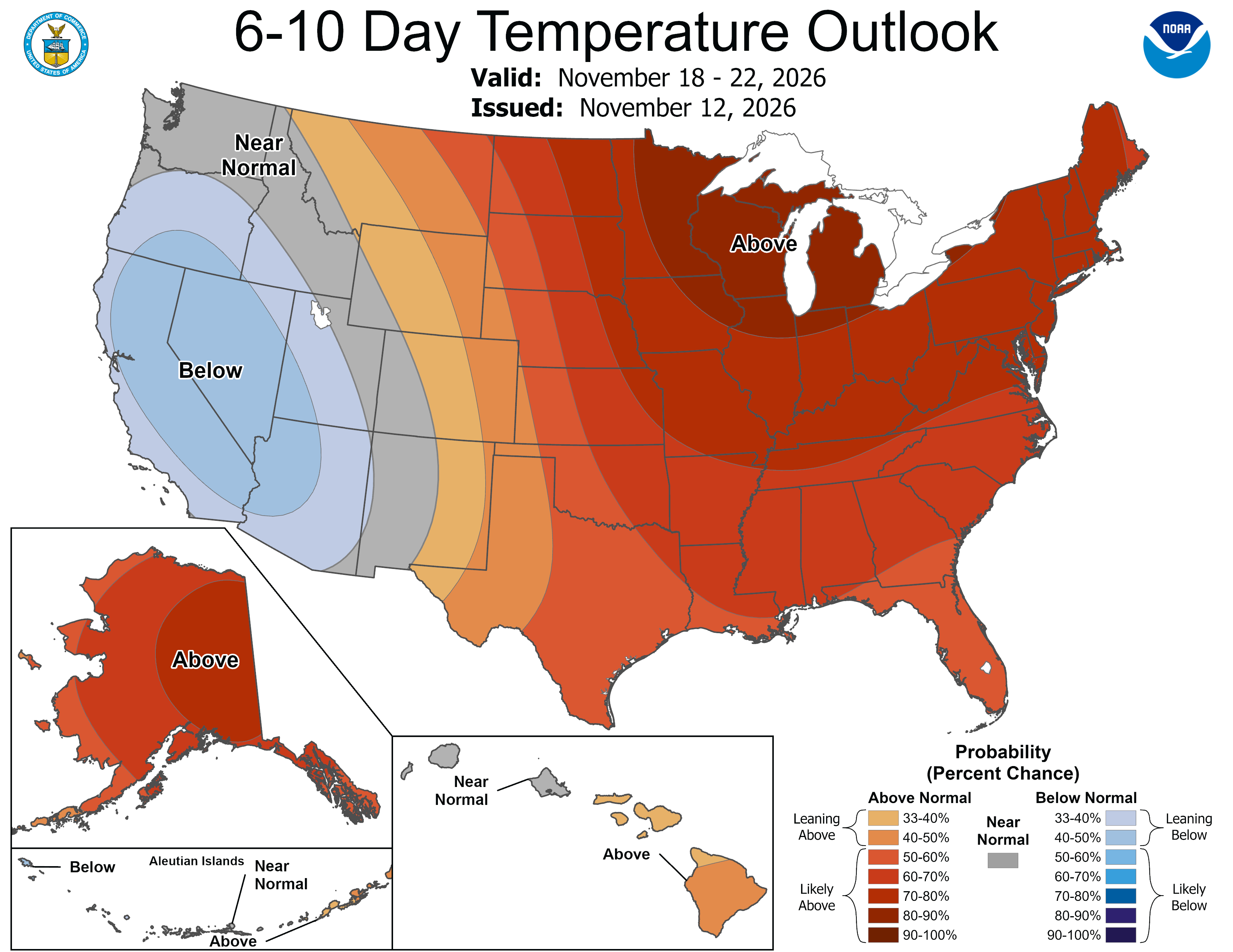
The National Weather Forecast is calling for well-above-normal temperatures through most of the 8- to 14-day advance forecast — which now runs through Thanksgiving weekend.
"People dealing with snow and bitterly cold winds this weekend could be enjoying much milder weather just days later," said AccuWeather expert meteorologist Haley Taylor. "November can bring some dramatic temperature swings, and this is a good example of how quickly the atmosphere can change gears.
Find out what's happening in Across Massachusettsfor free with the latest updates from Patch.
"The same areas getting a taste of winter now could see a stretch of dry weather and temperatures well above average next week."
AccuWeather said steadier snow across the interior Northeast will come to an end Friday as the storm begins moving away. Lingering lake-effect rain and snow showers will develop Saturday as colder air settles across the region.
Find out what's happening in Across Massachusettsfor free with the latest updates from Patch.
Rain, low clouds and aircraft deicing could contribute to flight delays.
Most accumulating snow fell over higher elevations of central and western Massachusetts before dawn on Friday morning as cold air drained down from the north.
The town of Hawley on the east side of the Berkshires reported 3 inches of snow, according to the National Weather Service, while higher elevations of Worcester near the airport, Fitchburg, Ashburnham, Royalston, Paxton and Rutland all had reports of measurable snow.
While the precipitation is expected to be light this weekend, the cold will linger, with AccuWeather saying that some communities across the eastern U.S. could experience their lowest temperatures since March.
Temperatures will be mainly in the 20s and 30s across the Northeast this weekend, with actual highs running 5–10 degrees below historical averages, AccuWeather said.
But there is hope ahead for those who believe it is too soon for heavy winter coats and boots.
After a high temperature of 41 degrees on Saturday and 47 degrees on Sunday, the warmth will settle back in over the course of next week.
Highs on Monday are near 50, with a high of 55 on Tuesday, and near 60 on Wednesday and Thursday. Temperatures could reach well into the 60s to near 70 degrees by next weekend.
See Latest Forecast (NWS):
Friday
A chance of rain, mainly before noon. Mostly cloudy, with a high near 41. North wind 7 to 11 mph, with gusts as high as 26 mph. Chance of precipitation is 40%.
Friday Night
Mostly cloudy, with a low around 35. Northwest wind around 6 mph.
Saturday
Partly sunny, with a high near 47. Northwest wind 6 to 8 mph.
Saturday Night
Mostly cloudy, then gradually becoming mostly clear, with a low around 34. West wind around 7 mph.
Sunday
Sunny, with a high near 49. Northwest wind 10 to 14 mph.
Sunday Night
Mostly clear, with a low around 36. Northwest wind 8 to 11 mph.
Monday
Sunny, with a high near 50. Northwest wind 5 to 13 mph.
Monday Night
Mostly clear, with a low around 37. Northwest wind around 5 mph.
Tuesday
Sunny, with a high near 55. West wind 5 to 7 mph.
Tuesday Night
Clear, with a low around 39. West wind around 6 mph.
Wednesday
Sunny, with a high near 59. West wind around 6 mph.
Wednesday Night
Mostly clear, with a low around 39. West wind around 6 mph.
Thursday
Sunny, with a high near 60. West wind 3 to 5 mph.
More on Patch:
Get more local news delivered straight to your inbox. Sign up for free Patch newsletters and alerts.