Weather
Heat Dome Descends On NJ: See Details
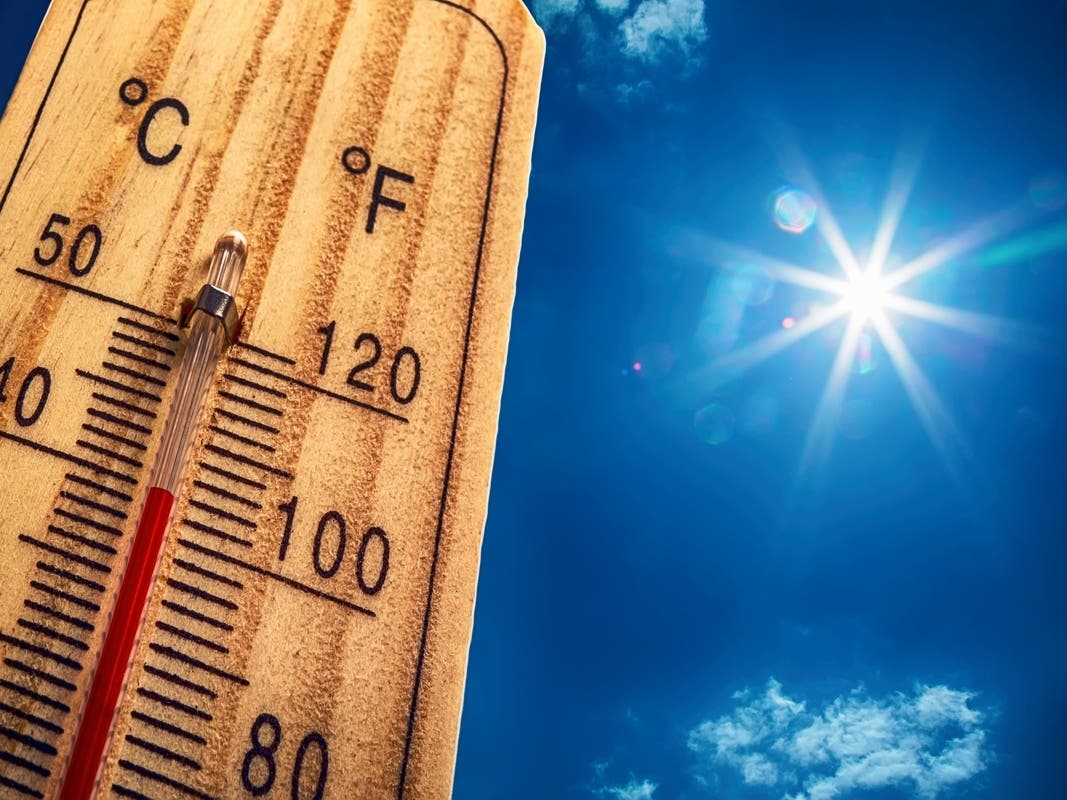
Heat indices of 100-110° are expected throughout the week as potentially record-breaking temperatures move into New Jersey.

An Extreme Heat Warning is set to be activated for much of New Jersey as dangerously high temperatures move in on the East Coast.
As of Tuesday morning, the heat warning is set to be active from noon on Wednesday to 8 p.m. on Saturday for 18 counties, the National Weather Service (NWS) said.
Atlantic, Cumberland and Cape May Counties remain under an Extreme Heat Watch that was put in place earlier this week.
Find out what's happening in Across New Jerseyfor free with the latest updates from Patch.
According to the latest forecast, high temperatures of 95-105° and heat indices of 100-110° are expected each day, with the hottest being Thursday through Friday.
"This includes area beaches and mountainous areas, which will not offer much relief from this extreme heat event," NWS said. "Plan accordingly if you are traveling for the holiday weekend."
Find out what's happening in Across New Jerseyfor free with the latest updates from Patch.
New Jersey isn't alone in this extreme heat, either.
According to AccuWeather, a heat dome is set to bring 90-100° temperatures to 200 million people in the U.S. from late June to early July.
A heat dome occurs when " high pressure lingers and traps warm air near the surface, while also suppressing clouds and precipitation," NPR said.
Starting on Wednesday, high temperature records may be broken across parts of New Jersey, as well as Pennsylvania, Delaware and New York.
While high temperatures are expected to last Wednesday through Saturday, some thunderstorms will be possible during the afternoon and evening of Friday, Saturday and Sunday.
If they occur, forecasters said they could offer some local relief.
The combination of near-record breaking hot and humid conditions for consecutive days will increase the risk for heat-related illnesses, especially for elderly and the young, NWS warns.
In order to prepare for the heat and stay safe, the weather service recommends:
- Drink plenty of fluids, stay in an air-conditioned room, stay out of the sun, and check up on relatives and neighbors.
- Do not leave young children and pets in unattended vehicles. Car interiors will reach lethal temperatures in a matter of minutes.
- Take extra precautions when outside. Wear lightweight and loose fitting clothing.
- Try to limit strenuous activities to early morning or evening.
- Take action when you see symptoms of heat exhaustion and heat stroke.
- To reduce risk during outdoor work, the Occupational Safety and Health Administration recommends scheduling frequent rest breaks in shaded or air conditioned environments.
- Anyone overcome by heat should be moved to a cool and shaded location.
- Heat stroke is an emergency! Call 911.
- If you do not have air conditioning in your home or lack shelter, you can call 211 or visit your county or state health department website for assistance locating appropriate shelter from the heat.
Here's the latest forecast throughout New Jersey from the NWS:
North Jersey
- Tuesday: Mostly sunny, with a high near 92. Southwest wind 7-10 MPH.
- Tuesday Night: A 20 percent chance of showers and thunderstorms after 11 p.m. Partly cloudy, with a low around 72. Southwest wind around 10 MPH, with gusts as high as 21 MPH.
- Wednesday: A 20 percent chance of showers and thunderstorms after 2 p.m. Mostly sunny, with a high near 99. Heat index values as high as 108. Southwest wind around 10 MPH.
- Wednesday Night: Mostly clear, with a low around 78. Southwest wind around 8 MPH.
- Thursday: Sunny and hot, with a high near 104. West wind 5-8 MPH.
- Thursday Night: Clear, with a low around 82.
- Friday: A 30 percent chance of showers after 2 p.m. Sunny, then becoming partly sunny during the afternoon and hot, with a high near 101.
- Friday Night: A 30 percent chance of showers before 8 p.m. Partly cloudy, with a low around 79.
- Saturday: A 40 percent chance of showers and thunderstorms after 2 p.m. Mostly sunny, with a high near 99.
- Saturday Night: A chance of showers and thunderstorms before 8pm, then a chance of showers between 8 p.m. and 2 a.m. Mostly cloudy, with a low around 76. Chance of precipitation is 30 percent.
- Sunday: A 30 percent chance of showers and thunderstorms. Mostly sunny, with a high near 94.
- Sunday Night: A 40 percent chance of showers and thunderstorms. Mostly cloudy, with a low around 74.
Central Jersey
- Tuesday: Mostly sunny, with a high near 91. Southwest wind 5-10 MPH.
- Tuesday Night: A slight chance of showers and thunderstorms between 11 p.m. and 2 a.m. Partly cloudy, with a low around 69. Southwest wind 10-15 MPH. Chance of precipitation is 20 percent.
- Wednesday: A slight chance of showers and thunderstorms after 2 p.m. Sunny, with a high near 96. Heat index values as high as 101. Southwest wind around 10 MPH, with gusts as high as 20 MPH. Chance of precipitation is 20 percent.
- Wednesday Night: Mostly clear, with a low around 75. Southwest wind 5-10 MPH.
- Thursday: Sunny and hot, with a high near 102. West wind around 5 MPH.
- Thursday Night: Clear, with a low around 79.
- Friday: Sunny and hot, with a high near 102.
- Friday Night: A chance of showers between 8 p.m. and 2 a.m. Partly cloudy, with a low around 78. Chance of precipitation is 30 percent.
- Saturday: A chance of showers and thunderstorms after 2 p.m. Mostly sunny and hot, with a high near 99. Chance of precipitation is 40 percent.
- Saturday Night: A chance of showers and thunderstorms before 2 a.m. Mostly cloudy, with a low around 74. Chance of precipitation is 40 percent.
- Sunday: A chance of showers and thunderstorms. Mostly sunny, with a high near 93. Chance of precipitation is 30 percent.
- Sunday Night: A chance of showers and thunderstorms. Mostly cloudy, with a low around 72. Chance of precipitation is 40 percent.
South Jersey
- Tuesday: Mostly sunny, with a high near 84. South wind 5-10 MPH.
- Tuesday Night: Partly cloudy, with a low around 70. South wind 10-15 MPH.
- Wednesday: Sunny, with a high near 87. South wind 10-15 MPH.
- Wednesday Night: Mostly clear, with a low around 73. Southwest wind 10-15 MPH.
- Thursday: Sunny, with a high near 92. South wind 5-15 MPH.
- Thursday Night: Clear, with a low around 75.
- Friday: Sunny, with a high near 96.
- Friday Night: Partly cloudy, with a low around 77.
- Saturday: Mostly sunny, with a high near 89.
- Saturday Night: A chance of showers between 8 p.m. and 2 a.m. Mostly cloudy, with a low around 76. Chance of precipitation is 40 percent.
- Sunday: Mostly sunny, with a high near 88.
- Sunday Night: A chance of showers and thunderstorms. Mostly cloudy, with a low around 75. Chance of precipitation is 40 percent.
Related
Get more local news delivered straight to your inbox. Sign up for free Patch newsletters and alerts.