Weather
Snow Possible Twice This Weekend As Arctic Air Grips NYC, Forecasters Say
The long weekend is expected to see frigid temperatures and two chances for snow, meteorologists said.

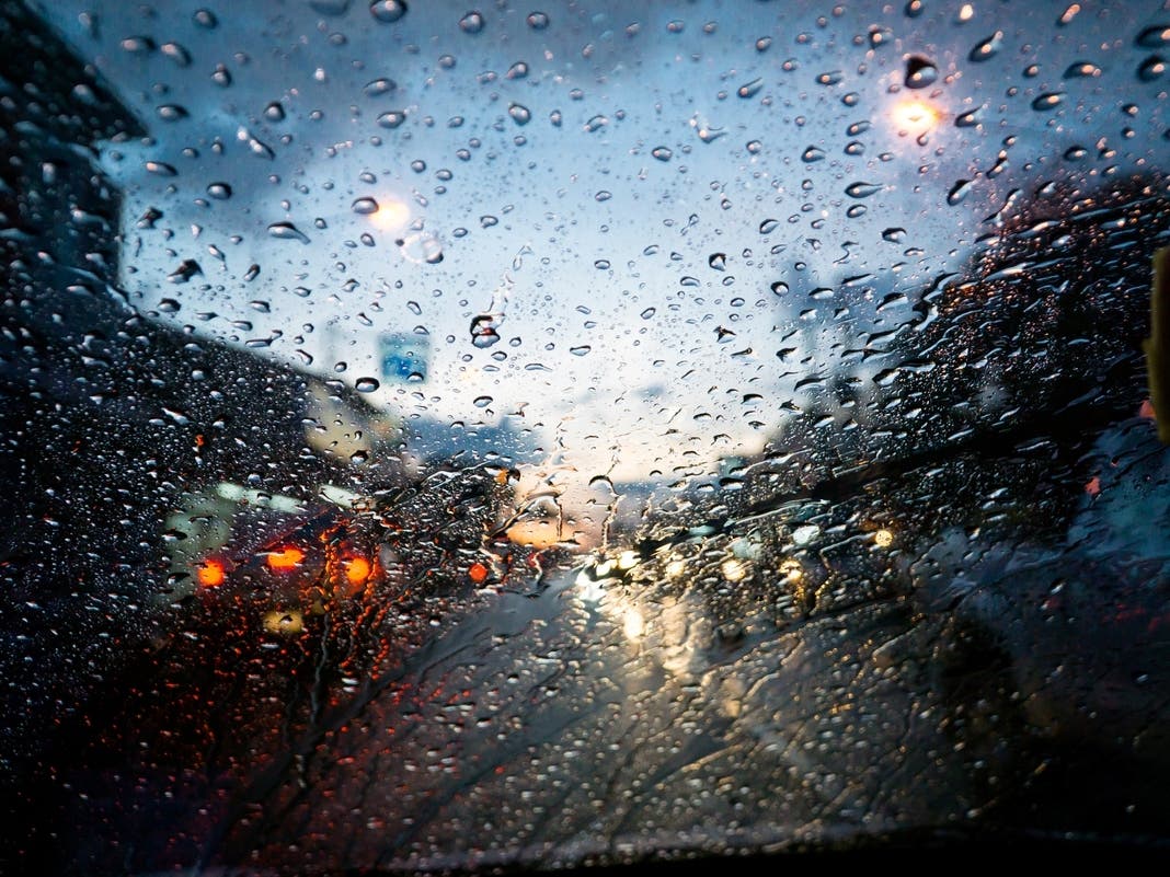
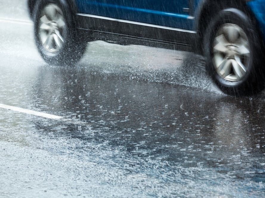
NEW YORK CITY — The New York City area is expected to see two rounds of snow this weekend, potentially creating slippery travel conditions as New Yorkers head out for the long holiday weekend while a polar vortex brings arctic air to the region, meteorologists and city officials said Friday.
According to the latest forecast models from the National Weather Service, snow could begin overnight Friday into early Saturday.
A likely first round of rain and snow is expected Saturday, when forecasters say up to a half-inch could coat the city between 10 a.m. and 4 p.m. Temperatures are expected to reach a high of about 41 degrees, which could lead to slick roads and sidewalks for long-weekend travelers.
Find out what's happening in Central Parkfor free with the latest updates from Patch.
The city's sanitation department has issued a Winter Operations Advisory for Saturday, and said it would fan out across the city with more than 700 salt spreaders and 44 specialized bike lane spreaders "at the first sign of precipitation."
Cloudy and cold conditions will persist into Sunday, with a 50 percent chance of snow and steady temperatures around 34 degrees.
Find out what's happening in Central Parkfor free with the latest updates from Patch.
Skies are expected to gradually clear Sunday night, with lows dropping to around 25 degrees. The clearing trend should arrive in time for Martin Luther King Jr. Day in New York City, which is forecast to be sunny and clear.
An accumulating snowfall is expected in parts of the interior overnight into Saturday. 🌨️ Several inches of snow are likely through Saturday morning, with hazardous travel conditions north and west of NYC. 💻Forecast: https://t.co/kd4x2H2mWk 📰Briefing: https://t.co/DiPwJBuHJw pic.twitter.com/dMQsnyWBoW
— NWS New York NY (@NWSNewYorkNY) January 16, 2026
Here’s the latest forecast from the National Weather Service.
Friday night: A 40 percent chance of snow after 1 a.m. Increasing clouds, with a low around 32. South wind around 6 mph.
Saturday: Snow likely, mainly between 10 a.m. and 4 p.m. Mostly cloudy, with a high near 41. South wind around 6 mph. Chance of precipitation is 70 percent. New snow accumulation of up to half an inch possible.
Saturday night: A 20 percent chance of snow after 1 a.m. Mostly cloudy, with a low around 33. Light southwest wind.
Sunday: A 50 percent chance of snow. Cloudy, with a steady temperature around 34. Calm wind becoming northwest around 6 mph in the afternoon.
Monday: Sunny, with a high near 34.
Monday night: Mostly clear, with a low around 15.
For questions and tips, email Miranda.Levingston@Patch.com.
Get more local news delivered straight to your inbox. Sign up for free Patch newsletters and alerts.