Weather
Flood Watch Will Come On The Heels Of Potentially Severe Storms Across The Hudson Valley
A Hazardous Weather Outlook will be in effect for southern Connecticut, northeast New Jersey, and southeast New York, according to the NWS.


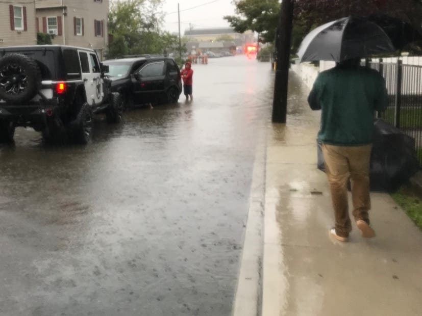
HUDSON VALLEY, NY — The workweek will once again open with the prospect of dangerous weather on the horizon across the region.
Severe thunderstorms are set to bring damaging winds, heavy rains, and flash flooding Tuesday through early Wednesday, according to the National Weather Service.
Flash flooding caused by excessive rainfall is possible, with a Flood Watch in effect in the Hudson Valley from early Tuesday. Up to 5 inches of rain is possible in a short span of time.
Find out what's happening in New Rochellefor free with the latest updates from Patch.
The Bronx, Brooklyn, Manhattan, Northern Nassau, Queens, Westchester, Orange, Putnam, Ulster and Rockland are included in the Hazardous Weather Outlook issued by the NWS.
The most impactful weather will come Tuesday, according to the National Weather Service. Showers and thunderstorms will be more widespread. Heavy rain could trigger flash flooding, which could become a bigger concern than severe thunderstorms, forecasters said.
Find out what's happening in New Rochellefor free with the latest updates from Patch.
Get more local news delivered straight to your inbox. Sign up for free Patch newsletters and alerts.