Weather
LI Weather: Snowfall Totals Rise For Sunday
The National Weather Service has advised motorists to be aware of slippery road conditions Sunday morning.

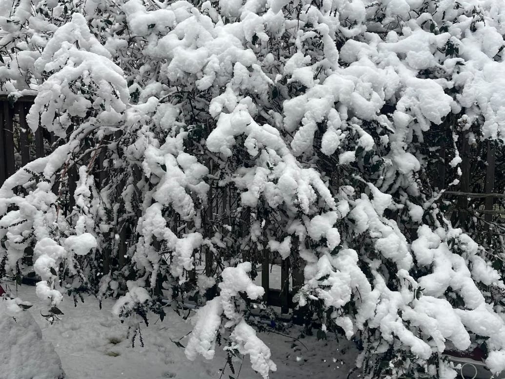
LONG ISLAND, NY — A winter weather advisory has been extended for Sunday, with snowfall totals also increasing throughout the area, the National Weather Service said.
According to the NWS, the winter weather advisory now remains in effect from 10 a.m. Sunday until 4 a.m. Monday across Long Island.
Light snow has started to overspread the area, the NWS said. That, combined with patchy black ice could cause slippery travel early Sunday morning.
Find out what's happening in North Forkfor free with the latest updates from Patch.
"Motorists and pedestrians should use extra caution. Reduce speed allow extra time, and be prepared for slippery travel," the NWS said.
Precipitation may start off as a rain/snow mix at the coast, officials said. By late Sunday afternoon all snow is expected. The bulk of the accumulation is expected to be after 5 p.m. Sunday, the NWS said.
Find out what's happening in North Forkfor free with the latest updates from Patch.
John Murray, meteorologist with the NWS office in Upton, said highs on Sunday will be in the mid-to-high 30s, with lows Sunday night in the 20s. On Monday, temperatures will remain in the mid-30s, plunging into the teens Monday night, he said.
Get more local news delivered straight to your inbox. Sign up for free Patch newsletters and alerts.