Weather
Long Island Weather Update: Bitter Cold, Blasts Of Wind Lead To Dangerous Conditions
See how low the temperatures will go Saturday night.

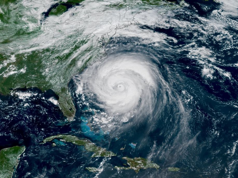
LONG ISLAND, NY — Long Islanders hit by snow, high winds and frigid cold Saturday can expect an even more drastic drop in temperature as gusts pummel the area Saturday night, the National Weather Service said.
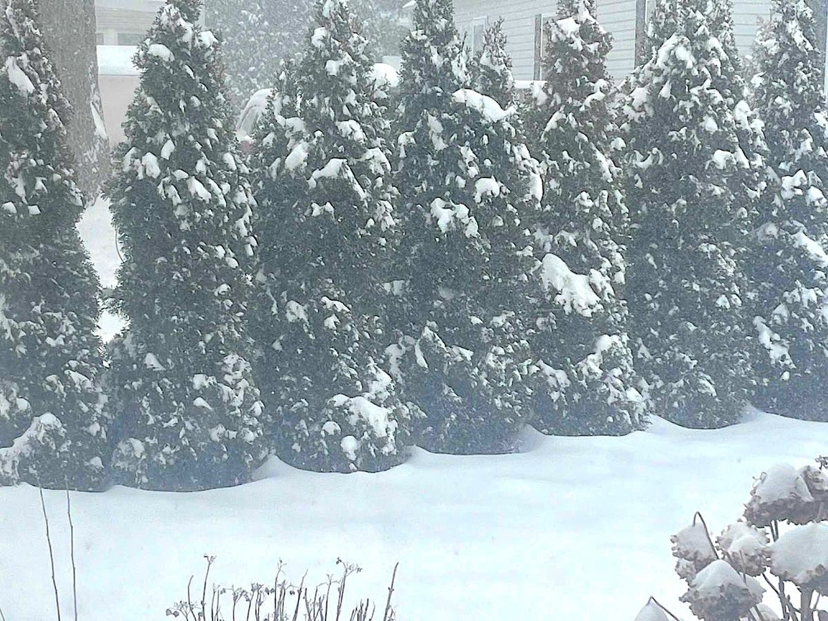
A winter weather advisory remains in effect until 5 p.m. Saturday for eastern Suffolk County and the East End, with snow accumulation of 3 to 5 inches, and up to 6 to 9 inches in some areas including Orient and Montauk, the NWS said. Wind gusts of 40 to 45 miles per hour are expected, the NWS said.
"Plan on slippery road conditions. Gusty winds could bring down tree branches," leading to power outages, the NWS said.
Find out what's happening in North Forkfor free with the latest updates from Patch.
On the North Fork, Southold and Riverhead residents reported nearly whiteout conditions on Sound Avenue, where visibility and blowing snow were so severe that it was virtually impossible to see.
"Slow down and use caution while traveling. If you are going outside, watch your first few steps taken on stairs, sidewalks, and driveways. These surfaces could be icy and slippery, increasing your risk of a fall and injury."
Find out what's happening in North Forkfor free with the latest updates from Patch.
Across Long Island, a wind advisory remains in effect until midnight, while an extreme cold warning remains in effect from 6 p.m. Saturday night until 1 p.m. Sunday, the NWS said.
For the wind advisory, northwest winds 15 to 25 mph, with gusts up to 50 mph, are expected, leading to dangerously cold wind chills, as low as minus- 21 degrees below 0 expected, the NWS said.
"The cold wind chills could cause frostbite on exposed skin in as little as 30 minutes," the NWS said. "Winds this strong can make driving difficult, especially for high profile vehicles. Use extra caution. Secure outdoor objects. Dress in layers including a hat, face mask, and gloves if you must go outside. Keep pets indoors as much as possible. Make frequent checks on older family, friends, and neighbors. Ensure portable heaters are used correctly. Do not use generators or grills inside."
John Cristantello, meteorologist with the National Weather Service Office in Upton, said the higher accumulation on the Twin Forks — up to 7 inches had been reported in certain areas Saturday afternoon — was caused by "wraparound moisture" coming from off the ocean east of New England; that moisture was pushed a little farther west, leading to higher snow totals than previously forecast for the East End, he said.
Across Long Island, snow totals are expected to be around 1 to 3 inches, with 3 to 5 and some isolated totals of 6-inches plus, on the East End, he said.
Get more local news delivered straight to your inbox. Sign up for free Patch newsletters and alerts.