Weather
New 'Blast Of Arctic Cold' Set To Blanket Long Island This Weekend
See just how cold the wind chills will make it feel across Long Island this weekend — and whether or not any snow is expected.

LONG ISLAND, NY — A new "blast of Arctic cold" is expected to hit Long Island this weekend, the National Weather Service said.
According to David Stark, meteorologist with the NWS office in Upton, Long Islanders are "almost guaranteed more cold."
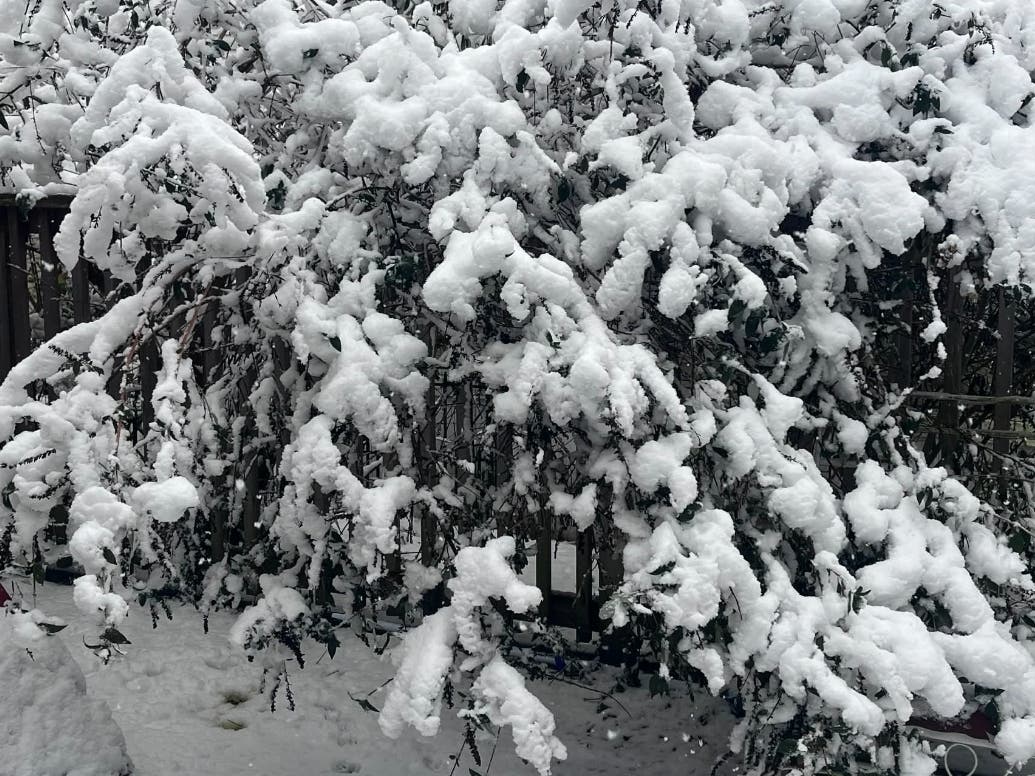
Snow, he said, is questionable, with the chance of perhaps a light coating on Friday night, with up to an inch in some spots.
Find out what's happening in North Forkfor free with the latest updates from Patch.
"The bigger story is the cold coming in this weekend," Stark said. "It's going to be colder than the previous weekend."
While the actual air temperatures are expected to be similar, strong winds Saturday into Saturday night will make it feel as though it's minus-10 to minus-15 degrees below 0, he said.
Find out what's happening in North Forkfor free with the latest updates from Patch.
Winds on Saturday night could reach 35 to 45 miles per hour, making it feel drastically colder than even last weekend, Stark said.
Temperatures are going to be modestly cold Friday, in the upper 20s to possibly 30 degrees, and then dropping Friday night as the cold air moves in, Stark said.
That air is coming from the Arctic, "straight. from the higher latitudes" out of Canada, Stark said.
Temperatures are expected to hover around 20 degrees — and increasing wind, by Saturday morning, will make it feel as though it's 0 to minus-5 degrees, to start the day, he said.
Saturday's temperatures should rise into the upper teens but, "when you factor in the strong winds, the daytime wind chill may not get above 0 degrees all day," Stark said.
On Saturday night, the temperatures could plummet into the single digits and, with the wind chill, it could feel as though it's minus-13 to minus-14 degrees, "and potentially as low as minus-20," Stark said.
Sunday's temperatures are not expected to rise out of the teens but the winds should be lighter, with 20 to 25 mile per hour gusts making it feel as though it's in the single digits, Stark said.
"The wind should weaken further Sunday night — we're looking at at single digits — but with the winds less, it may feel like 0 to minus 5 degrees," he said. "We'll finally see some relief early next week," Stark said, with temperatures in the 20s Monday and close to 30 degrees on Tuesday.
Get more local news delivered straight to your inbox. Sign up for free Patch newsletters and alerts.