Weather
New LI Snow Accumulation Estimates Released For Major Storm: Here's What To Know
Frigid temperatures are expected to blanket Long Island Friday and Saturday, before the snowstorm —which has new accumulation estimates.

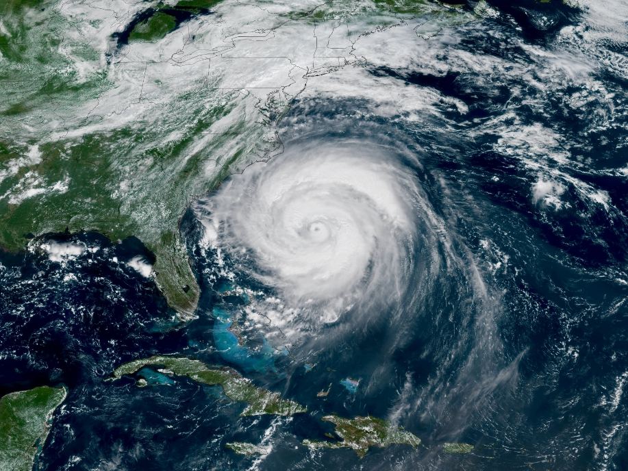
LONG ISLAND, NY — Long Islanders could be seeing even more snow than expected in certain areas during Sunday's storm — while other areas could see sleet lessening overall accumulation totals, according to the National Weather Service.
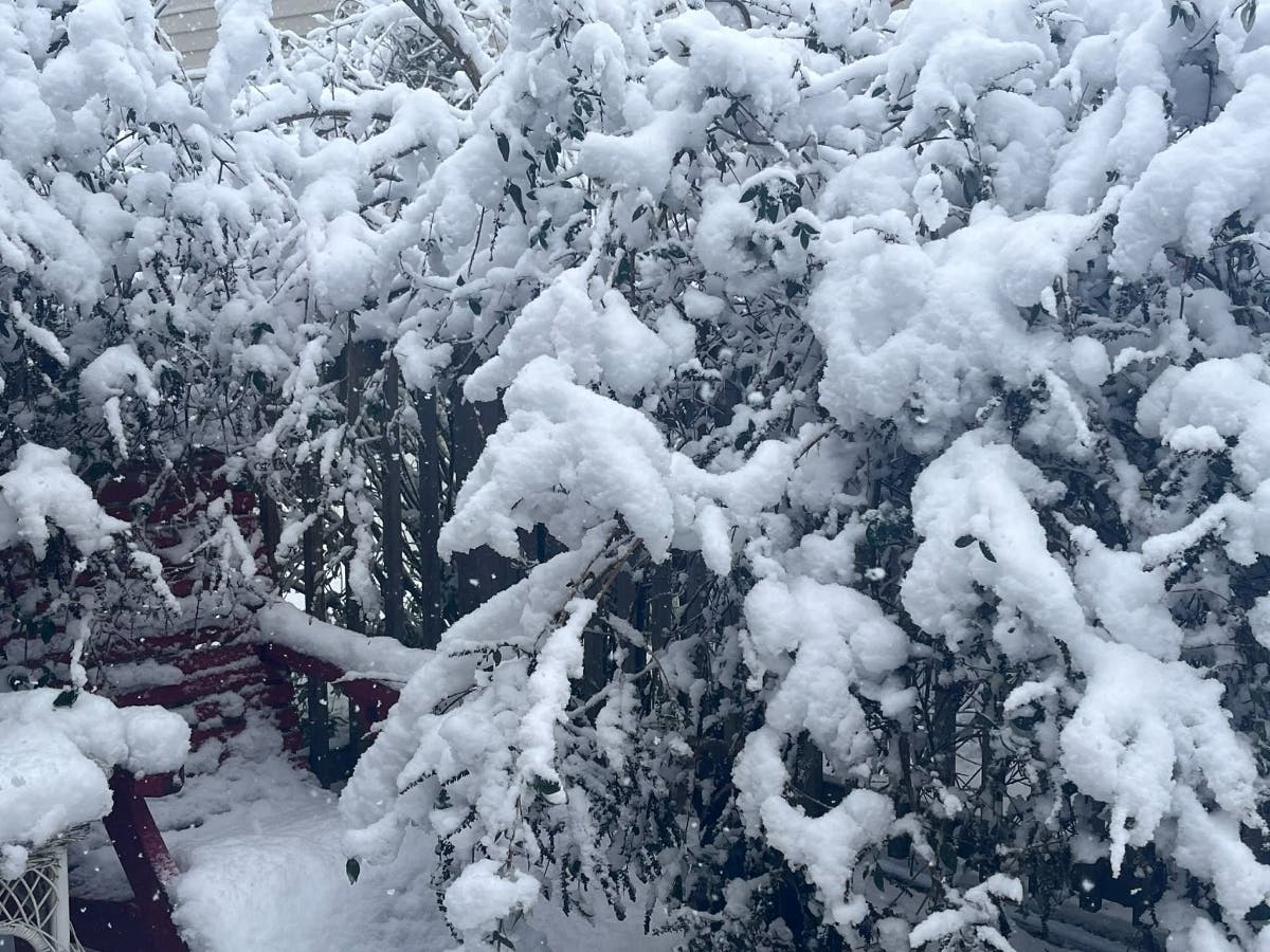
According to Matt Wunsch, meteorologist with the National Weather Service Office in Upton, snow is expected to begin early Sunday morning and intensify very progressively throughout the day, with 1 to 2 inches of snowfall per hour expected Sunday afternoon. Moderate to potentially heavy snow will continue into the evening, he said, with widespread accumulation of 8 to 12 inches — and up to 15 inches in some spots.
Also on Long Island, especially on the South Shore, some of that snow may mix with sleet at some point, Wunsch said, cutting down on total accumulation amounts — but also, leading to a possible accumulation of frozen sleet on top of the snow, as temperatures dip down, and remain, below freezing.
Find out what's happening in North Forkfor free with the latest updates from Patch.
Temperatures Sunday into Monday are expected to be very cold, into the upper single digits and lower teens Sunday morning and then rising to the lower 20s, he said, adding, "We are expecting temperatures to stay below freezing during the whole event Sunday."
Meanwhile, before the snow Sunday, a cold weather advisory remains in effect from 10 p.m. Friday evening through 10 a.m. Saturday, the National Weather Service said.
Find out what's happening in North Forkfor free with the latest updates from Patch.
Very cold wind chills, as low as minus-5 to minus-10 degrees, are expected, he said, with temperatures in the single digits for most of Long Island and possibly in the lower teens along the coast.
"It's probably going to be one of the coldest days we've had in a while," Wunsch said. "It will be very cold Friday night."
The cold wind chills could result in hypothermia if precautions are not taken, the NWS said. Frostbite and hypothermia will occur if unprotected skin is exposed to these temperatures. Residents are advised to use caution while traveling outside and wear appropriate clothing, a hat, and gloves.
"Make frequent checks on older family, friends, and neighbors. Ensure portable heaters are used correctly. Do not use generators or grills inside," the NWS said.
As for the snow, the NWS said the heaviest snow is likely to occur Sunday morning into early Sunday evening.
People should consider delaying travel from Sunday into Monday, the NWS said. "If travel is absolutely necessary, drive with extreme caution. Make sure your car is winterized and in good working order. Consider taking a winter storm kit along with you, including such items as tire chains, booster cables, flashlight, shovel, blankets and extra clothing. Also take water, a first aid kit, and anything else that would help you survive in case you become stranded."
Get more local news delivered straight to your inbox. Sign up for free Patch newsletters and alerts.