Weather
'Life-Threatening' Rip Current Risk In Effect Through Wednesday Evening On Long Island: NWS
The "life-threatening" risk centers on southern Suffolk and Nassau Counties, the National Weather Service says.


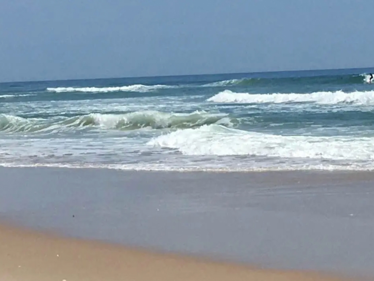
LONG ISLAND, NY — A high rip current risk is in effect for southern Suffolk and Nassau Counties, the National Weather Service said.
The high rip current risk remains in effect through Wednesday evening, the NWS said.
"Life-threatening rip currents" are likely for all people entering the surf zone; anyone visiting the beaches should stay out of the surf, the NWS said.
Find out what's happening in Southamptonfor free with the latest updates from Patch.
Rip currents can sweep even the best swimmers away from shore into deeper water, the NWS said.
Tips to stay safe:
Find out what's happening in Southamptonfor free with the latest updates from Patch.
According to the NWS: "If you enter the surf zone, always have a flotation device with you and swim near a lifeguard. If caught in a rip current, relax and float, and do not swim against the current. If able, swim in a direction following the shoreline. If unable to escape, face the shore and yell or wave for help."
The weather is expected to be rainy through Wednesday night, according to the NWS forecast:
Tuesday
Showers likely and possibly a thunderstorm, mainly after 2 p.m. Mostly cloudy, with a high near 76. South wind 11 to 15 mph. Chance of precipitation is 70 percent.
Tuesday night
Showers and possibly a thunderstorm. Low around 72. Southwest wind around 16 mph. Chance of precipitation is 100 percent. New rainfall amounts between a half and three quarters of an inch possible.
Wednesday
Showers likely and possibly a thunderstorm before 11 a.m., then a chance of showers and thunderstorms after 11 a.m. Mostly cloudy, with a high near 81. Southwest wind around 16 mph. Chance of precipitation is 60 percent. New rainfall amounts between a tenth and quarter of an inch, except higher amounts possible in thunderstorms.
Wednesday night
A 20 percent chance of showers before 2 a.m. Mostly cloudy, with a low around 63. Southwest wind 8 to 11 mph becoming north after midnight.
Get more local news delivered straight to your inbox. Sign up for free Patch newsletters and alerts.