Weather
Warm Temperatures and Isolated Storms Headed to North Texas
Small hail will be the main concern on Friday.

A few isolated storms could be headed to North Texas this weekend.
The National Weather Service Fort Worth/Dallas issued a bulletin about the weather activity on Thursday afternoon. According to the bulletin, isolated storms may develop across western North Texas on Friday evening.
Most of Friday's storms will remain sub-severe, however, the NWS cannot rule out the risk of small hail.
Find out what's happening in Dallasfor free with the latest updates from Patch.
On Sunday, there is a threat for isolated strong to severe storms in the afternoon. If a severe storm develops, the main hazards associated will be large hail and damaging winds.
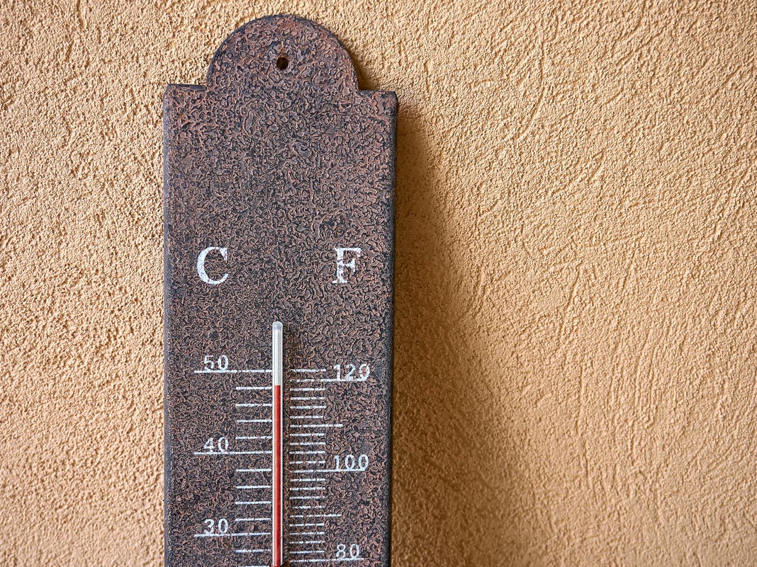
Throughout the weekend, temperatures will remain in the upper 80s and 90s with lows in the upper 60s and low 70s.
Find out what's happening in Dallasfor free with the latest updates from Patch.
Next week, the NWS expects periodic showers and storms, but not every area will see rain every day. The severe weather threat will continue to be assessed in the coming days. Temperatures each afternoon will be in the 80s with lows in the 60s and 70s.
According to a Texas Fire Potential Update from the Texas A&M Forest Service for May 14-18, fire potential will be increasing from low to moderate across the high plains as chances for dry thunderstorms develop Thursday through Sunday.
The potential for large fires will be low to moderate and conditional to dry thunderstorm activity producing lightning ignitions in complex terrain within the High Pains.
Recent rainfall and improved herbaceous greenness will keep fire potential low outlook low for the remainder of the state. Daily max temperatures near 100 degrees and single-digit relative humidities will facilitate high drying of surface fuels leading into Sunday across the High Plains.
Beginning on Monday, May 18, the potential for dry lightning ends and a cold front will progress across the state, producing widespread rainfall to the eastern 2/3rds of the state. No additional fire weather triggers are currently forecast.
Get more local news delivered straight to your inbox. Sign up for free Patch newsletters and alerts.