Weather
Polar Vortex About To Go 'Haywire': What That Means For Temps In CA
The "extraordinarily early" disruption of air above the North Pole could have ripple effects on California's climate.


The Arctic polar vortex is about to go “haywire,” and meteorologists are trying to figure out what an extraordinarily early disruption of the frigid air mass high above the North Pole will mean for California’s winter weather.
“Everybody’s hair is on fire in the meteorologist community,” Judah Cohen, a research scientist at the Massachusetts Institute of Technology and director of seasonal forecasting at Atmospheric and Environmental Research, told Scientific American.
The uncertainty is especially significant this year because El Niño, which typically brings wetter winters to Southern California and milder winters to much of the northern United States, is another wild card. An unusually early disruption of the polar vortex could complicate that outlook, but experts don't yet know whether it will send bitterly cold Arctic air plunging into California or somewhere else entirely.
Find out what's happening in Across Californiafor free with the latest updates from Patch.
For now, meteorologists with the private weather company AccuWeather say the shifting polar vortex isn't expected to unleash a bitterly cold blast across the United States. Northern Canada isn't particularly cold to begin with, and the coldest available air is expected to flow toward Siberia instead.
Parts of the United States will turn cooler and wetter during the first half of November, with more significant cold outbreaks possible later in the month and into December as atmospheric patterns change, AccuWeather said.
Find out what's happening in Across Californiafor free with the latest updates from Patch.
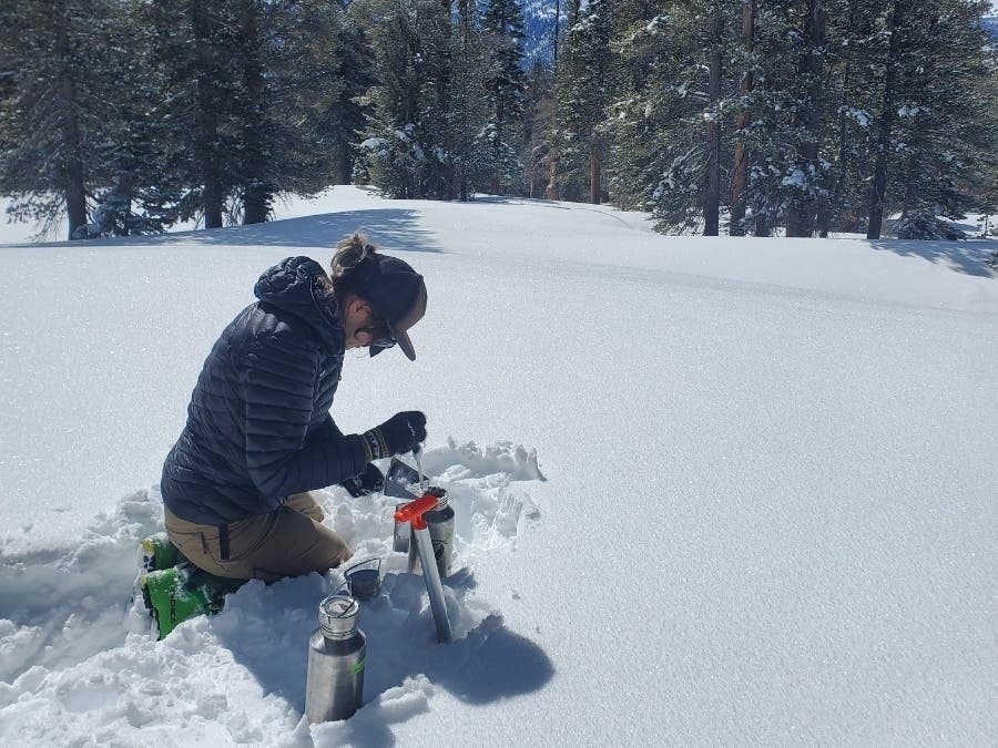
RELATED: CA Snowflakes Filled With Microplastic: Why It's Happening And What It Means For Our Water Supply
"Some of the biggest temperature dips during the first half of November will tend to skip over the Northern states and evolve over the Southwest in response to a large storm in the jet stream," AccuWeather Senior Meteorologist Brett Anderson said.
In fact, early November has been almost 15 degrees warmer than usual in parts of Southern California thanks to the gusty Santa Ana winds. However, the National Weather Service is monitoring an atmospheric river-fueled storm that could drench much of the state between Nov. 11 and Nov. 17.
The weather service warned that the weather pattern is unpredictable, leaving a great deal of uncertainty around the storm. Southern California has a 20 o 40 percent chance of rain while Northern and Central California are more likely to see heavy rain. The northern part of the state has a 40 t 60 percent chance of moderate rain. The storm is expected to bring heavy snowfall to the Sierra Nevada mountains, according to the National Weather Service.
‘About To Go Haywire’
The last time the polar vortex experienced a disruption this early in the season was on Nov. 28, 1968, according to Cohen. Scientific American said in a report Wednesday that the vortex is “about to go haywire.”
Normally, the Arctic polar vortex spins like a top high above the North Pole, with strong winds circling a pool of bitterly cold air and keeping it largely confined to the Arctic. But like a spinning top knocked off balance, the vortex can wobble, stretch or even split apart when large atmospheric waves rising from lower altitudes disrupt its circulation.
When that happens, bitterly cold Arctic air can spill southward into the United States, sending temperatures plunging well below normal and sometimes locking large parts of the country into a deep freeze for days or even weeks. Such outbreaks are more common during the heart of winter, when Arctic air is at its coldest.
AccuWeather expects the polar vortex to weaken and shift out of its usual position in November, while the jet stream develops large bends that ordinarily allow frigid Arctic air to plunge southward.
An El Niño Wild Card
Complicating the outlook is El Niño, characterized by unusually warm waters in the tropical Pacific. It generally favors milder winters across much of the northern United States, but the disruption of the polar vortex introduces another variable that could alter the usual weather patterns.
Cohen cautioned in a separate interview with USA Today that the last El Niño winter, in 2023-24, featured two sudden stratospheric warming events but was exceptionally mild in the eastern United States.
“In short lots of uncertainty!” he said.
More California News:
- Meghan Markle's Father Arrested After Child Pornography Found In LA Storage Units
- Trump Names Controversial Santa Monica Native As White House Chief Of Staff: Reports
- IRS Announces 2027 Tax Changes: What CA Taxpayers Need To Know
- ChatGPT Helped Wife Plan Husband's Poisoning, Bay Area Lawsuit Claims
- Longtime CA News Anchor Dies At 82
- 'Armageddon' Or Not, Nithya Raman Could Bring 4 Big Changes To LA
- Fremont Woman Accused Of Assaulting East Bay Councilmember
Get more local news delivered straight to your inbox. Sign up for free Patch newsletters and alerts.