Neighbor News
Explore the Freeway That Almost Cut Through Lafayette and Moraga
An interactive map lets you see the proposed Shepherd Canyon Freeway and how it would have reshaped the East Bay hills

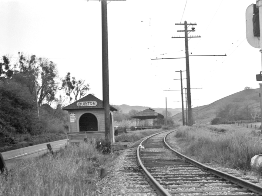
My name is Shane Reisman. I’m a resident and local history researcher, and I recently uncovered a fascinating chapter of East Bay history: the Shepherd Canyon Freeway.
This freeway was planned by transportation officials to connect Oakland to Highway 24 at Pleasant Hill, cutting through the Oakland Hills and passing through Moraga and Lafayette. While it never came to fruition, the proposal came very close to reshaping the entire area. Local leaders and community members organized to stop the project, protecting the natural spaces we still enjoy today.
To help neighbors visualize what might have been, I created an interactive map showing the proposed route and its potential impacts. Residents and history enthusiasts can explore the map and learn more about this pivotal moment in local history.
Find out what's happening in Lamorindafor free with the latest updates from Patch.
View interactive map here: lmhistorytrail.org/burton
The research for this project was provided by John Kaiser of the Moraga Historical Society and Stuart J. Swiedler, caretaker of the East Bay Hills Project.