Crime & Safety
USC Maps Lead Contamination Across County After Palisades, Eaton Fires
Researchers on Tuesday released findings based on 6,000 soil samples collected following the January 2025 wildfires.


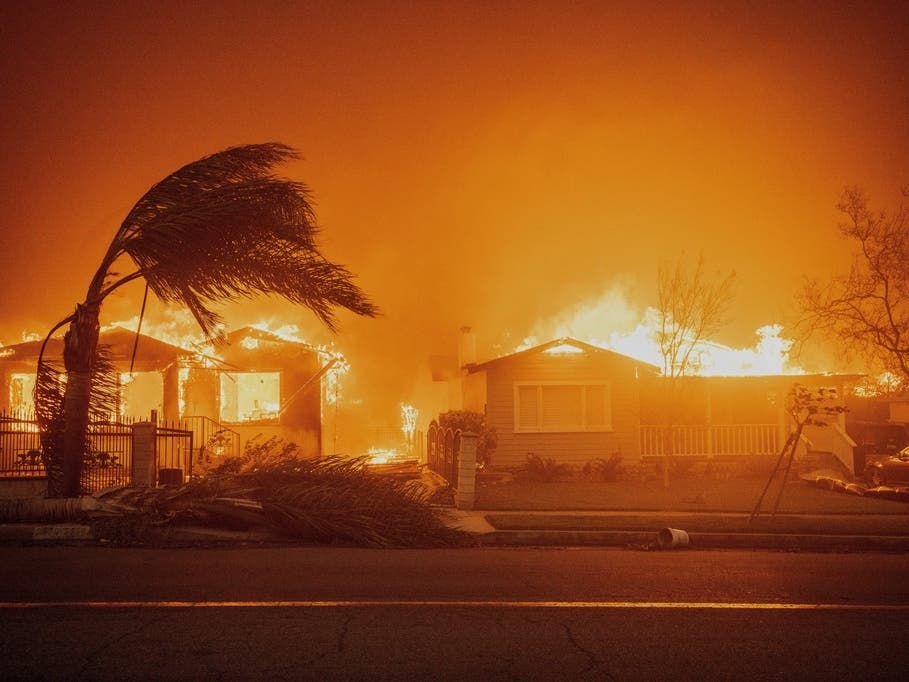
LOS ANGELES, CA — More than a year after the Palisades and Eaton fires, new research from USC is offering residents a clearer picture of possible contamination in local yards, beaches and coastal waters.
USC’s Contaminant Level Evaluation and Analysis for Neighborhoods project, known as CLEAN, released findings on Tuesday based on more than 6,000 soil samples collected across Los Angeles County and more than 900 seawater samples taken along the Southern California coast, according to researchers.
Researchers found evidence that the January 2025 fires released lead into the environment, but said older sources of contamination — including deteriorating lead-based paint from aging homes — make it difficult to isolate the fires’ impact in many neighborhoods.
Find out what's happening in Los Angelesfor free with the latest updates from Patch.
The team found no evidence of widespread post-fire contamination across the county from several other metals that had raised concern, including arsenic, mercury and hexavalent chromium.
“Communities deserve clear, science-based information about their environment after the L.A. fires,” Erika Garcia, an associate professor at the Keck School of Medicine of USC and an epidemiological adviser to CLEAN, said in a statement.
Find out what's happening in Los Angelesfor free with the latest updates from Patch.
'Every Property Is Different'
More than 3,000 households have submitted soil samples since the project launched two months after the fires.
Researchers said lead concentrations can differ sharply even within the same property. On average, one sample from a yard contained about twice as much lead as another sample taken only a few feet away.
RELATED: Cause Of Deadly Eaton Fire Identified After 18-Month Investigation
That variation was even greater in some burn areas, according to the research team.
“Every property is different,” Josh West, a USC earth sciences professor and principal investigator on the project, said in a statement. “Lead levels can vary substantially even within a single yard, so testing your own soil remains the best way to understand potential exposure.”
'Clear Signal In The Ocean'
USC researchers also examined how wildfire debris affected beaches and coastal waters.
The CLEAN Waters team found that nutrients, metals and hundreds of fire-related compounds increased in the weeks after the fires, leaving a measurable chemical signature in the ocean. However, many of those levels returned to more typical conditions within several months.
“The fires left a clear signal in the ocean, but it wasn’t a permanent one,” said Noelle Held, a USC assistant professor of biological sciences who led the coastal research.
Held said continued monitoring helped researchers distinguish pollution caused by the fires from the contamination Southern California’s coastal ecosystems experience on a regular basis.
Reducing Possible Exposure
Researchers are now turning their attention toward helping residents reduce possible exposure.
A university and community partnership known as CONSORTIUM — the Community-Oriented Network for Scientific Observation, Recovery, and Tracking of Impacts from Urban Megafires — has released guidance to help people evaluate and address contamination in places where they live, work and spend time outdoors.
The CLEAN team is also expanding its work beyond the Palisades and Eaton fire zones. After a prolonged warehouse fire in Boyle Heights, researchers adapted the program to test lead levels in nearby neighborhoods.
USC said testing and monitoring will continue as affected communities rebuild.
Residents can visit the CLEAN and CONSORTIUM websites for testing information, contamination-reduction guidance and future research updates.
Get more local news delivered straight to your inbox. Sign up for free Patch newsletters and alerts.