Politics & Government
Riverside County To Continue Aerial Drone Surveys For Transportation, Developers
The aerial surveying is needed for transportation projects and to meet the demands of developers, according to county documents.

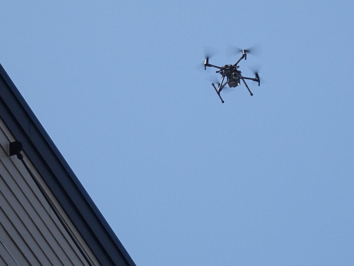
RIVERSIDE COUNTY, CA — The Board of Supervisors Tuesday authorized a five-year contract with an aerial drone services firm to conduct periodic surveys for the Riverside County Department of Transportation over the next five years.
The agreement, approved 5-0 without comment Tuesday, is with Riverside Municipal Airport-based Inland Aerial Surveys Inc. The contract will be in effect from the current fiscal year to June 30, 2031, though a provision in the proposal will allow transportation officials to extend the service to June 30, 2033, if necessary.
The projected aggregate budget for the firm's "as-needed" services during the 2026-31 time frame is $900,000. The amount could be well under that, depending on how often Inland Aerial Surveys is actually needed.
Find out what's happening in Murrietafor free with the latest updates from Patch.
The county additionally has two other aerial survey companies available for call-outs, according to documents posted to the board's agenda.
Inland Aerial Surveys' base cost for a "mobilization" to deploy to locations countywide will be $750. After that, expenses will rise in proportion to how much the company's drones are utilized for a specific transportation infrastructure project, with hourly rates charged for a pilot, video and still photography processor and other inputs, according to documents.
Find out what's happening in Murrietafor free with the latest updates from Patch.
"This on-call contract provides the flexibility needed to engage consultants in providing ... aerial surveying and support services necessary to deliver critical transportation improvement program projects and to meet the demands of the development community," according to a statement posted to the agenda.
The drone team will work directly with the Department of Transportation's Survey Division.
All of the money expended for aerial services will be drawn from internal agency accounts, with no allocation of General Fund dollars, documents stated.