Weather
2 Areas Eyed For Tropical Development: Here's What To Know In GA
One of the areas forecasters are watching for tropical development could be a rainmaker for GA, where storms are currently set to linger.


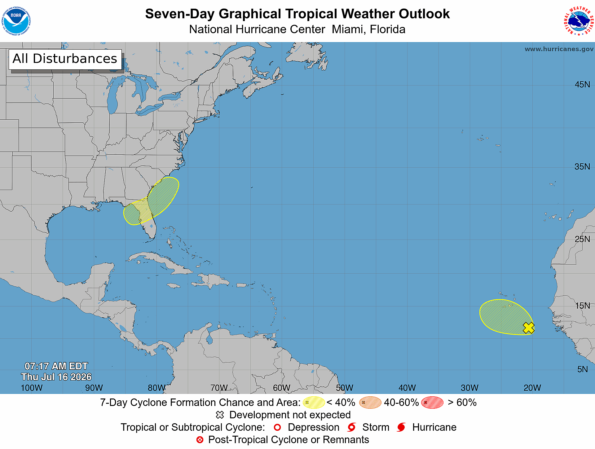
Though it’s been a slow start to the 2026 Atlantic hurricane season, forecasters are now watching two areas for possible tropical development — one hanging out across northern Florida and coastal Georgia, the other a disorganized tropical wave in the eastern Atlantic.
An area of low pressure has formed across the northeastern Gulf, offshore northern Florida, southeastern Georgia and coastal South Carolina, according to the National Hurricane Center.
Some gradual development of the system is expected as it moves slowly northeast over the Gulf and along the Southeast coast into early next week.
Find out what's happening in Atlantafor free with the latest updates from Patch.
It has a 20 percent chance of developing into a tropical depression or storm, NHC said.
As of Thursday, the National Weather Service reported it is too early to determine if there will be any impacts to Georgia.
Find out what's happening in Atlantafor free with the latest updates from Patch.
The NWS' Tallahassee (Florida) office reported a 20 percent low chance of of development in the Northeast Gulf and Southeast coastline in the next week.
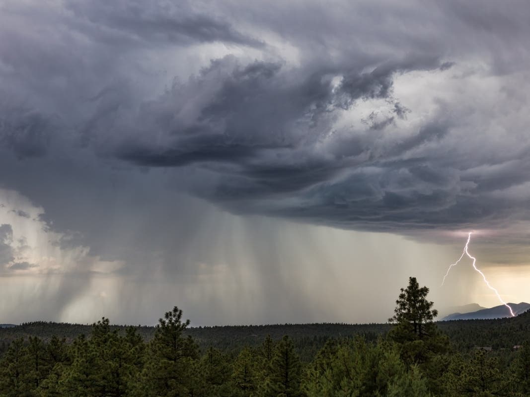
Be that as it may, thunderstorms are in the daily forecast through at least Monday in north and central Georgia. Frequent lightning, locally heavy rainfall and gusty winds are possible.
Heat indices could return to the triple digits, according to the NWS.
.jpg)
What's Ahead?
The next named storm for this season is Bertha. The first system of the season, Tropical Storm Arthur, formed June 17 off the Texan coast.
Many experts don’t expect more than rainy weather from the system, though.
“Let's be VERY clear here. IF this low develops, it's a rainmaker...nothing more. (Even if it somehow gets a name,)” Denis Phillips, chief meteorologist for Tampa Bay 28, wrote in a social media post. “Some areas could see some really solid rainfall totals by next Tuesday. Point is, I wouldn't cancel weekend plans. Wait until we actually see the low develop, and go from there.”
As the system moves, Phillips expects the chances of rain will be higher along the coast.
Meteorologist Noah Bergren with Fox 35 agreed that the system isn’t much of a threat, writing in a social media post, “ Chances we see ‘Bertha’ form in the Gulf are pretty low this weekend. Chances are high that we see lots of rain banding, storms, and a couple of severe storms/tornado warnings Friday-Monday.”
Because the system is directly offshore, it has little time to strengthen over water.
“The biggest hindrance to development will be its expected short period of time over water which won’t give it much time to consolidate,” Fox 13’s pal Dellegatto wrote in a social media post. “That being said, we pay special attention to any areas of low pressure that are expected to develop near us this time of year. NHC pegs the area at a 20 [percent] chance for development. More than likely, the net result will be an increase in rainfall over the northern half of Florida this weekend and early next week."
A second system thousands of miles away in the eastern Atlantic is also being watched, NHC forecasters said.
This tropical wave is bringing disorganized showers and thunderstorms southeast of the Cabo Verde Islands, the agency said.
Some slow development is possible during the next day or two while the system moves generally west-northwestward at about 10 mph.
The system is expected to move into a less conducive environment by the weekend and further development isn’t expected, the NHC said. There’s a 10 percent chance that it could strengthen into a tropical depression or storm over the next week.
Get more local news delivered straight to your inbox. Sign up for free Patch newsletters and alerts.