Weather
Hail, Lightning To Strike In GA Amid Severe Storms
Here's when and where some Georgia residents can expect potentially severe storms Thursday.

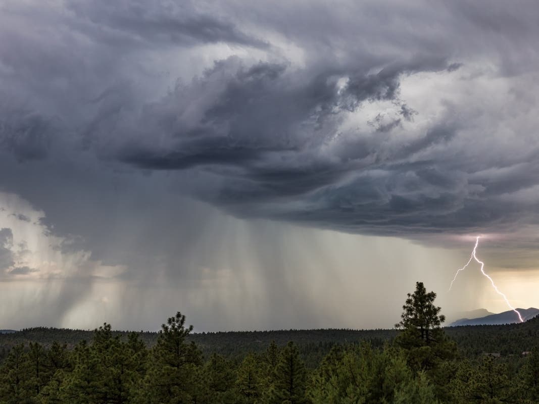
Severe storms are expected to bring lightning and damaging winds Thursday afternoon in Georgia, the National Weather Service reported.
The storms are predicted to arrive from 4 p.m. through 1 a.m. Friday in north and central Georgia, according to the forecast.
A Level 2 slight risk for severe weather was issued for northwest areas near Rome while a Level 1 marginal risk was issued for a large portion of Georgia, including metro Atlanta.
Find out what's happening in Atlantafor free with the latest updates from Patch.
.png)
Dime-sized hail, frequent lightning and up to 60 mph winds are possible with the storms. The storms expected Friday may also be severe.
There are rain chances through at least Tuesday; however, a weekend cold front could generate drier weather for early next week, according to the NWS.
Find out what's happening in Atlantafor free with the latest updates from Patch.
Recent rainfall has not chilled the Peach State, which has been scorching hot, but the NWS reported cooler temperatures may arise during the weekend.
However, Friday's heat index values are expected to sit in the triple digits.
Updates will be posted on the weather service's Twitter page, the weather service's Facebook page and its website.
.png)
Here is the National Weather Service's Thursday afternoon forecast for metro Atlanta:
This Afternoon: A 20 percent chance of showers and thunderstorms after 3 p.m. Sunny and hot, with a high near 98. Heat index values as high as 104. Northwest wind around 5 mph.
Tonight: A 30 percent chance of showers and thunderstorms, mainly before 1 a.m. Partly cloudy, with a low around 75. South wind around 5 mph becoming north after midnight.
Friday: Showers likely and possibly a thunderstorm between 2 p.m. and 3 p.m., then a chance of showers and thunderstorms after 3 p.m. Mostly sunny, with a high near 94. Heat index values as high as 101. Light and variable wind becoming west 5-10 mph in the afternoon. Winds could gust as high as 15 mph. Chance of precipitation is 60 percent. New rainfall amounts between a tenth and quarter of an inch, except higher amounts possible in thunderstorms.
Friday Night: A chance of showers and thunderstorms before 11 p.m., then a slight chance of showers between 11 p.m. and midnight. Partly cloudy, with a low around 72. West wind around 5 mph becoming calm in the evening. Chance of precipitation is 30 percent.
Saturday: Sunny, with a high near 92. Northwest wind 5-10 mph, with gusts as high as 15 mph.
Saturday Night: Mostly clear, with a low around 71.
Sunday: Sunny, with a high near 92.
Sunday Night: Mostly clear, with a low around 69.
Monday: Sunny, with a high near 91.
Monday Night: Partly cloudy, with a low around 70.
Tuesday: A 20 percent chance of showers and thunderstorms. Mostly sunny, with a high near 92.
Tuesday Night: A 20 percent chance of showers and thunderstorms. Partly cloudy, with a low around 71.
Wednesday: A 30 percent chance of showers and thunderstorms. Mostly sunny, with a high near 92.
Get more local news delivered straight to your inbox. Sign up for free Patch newsletters and alerts.