Weather
Minnesota Wildfire Map: See Perimeters, Evacuation Areas
Officials say the Superior National Forest hasn't seen fire conditions like this in over 20 years.


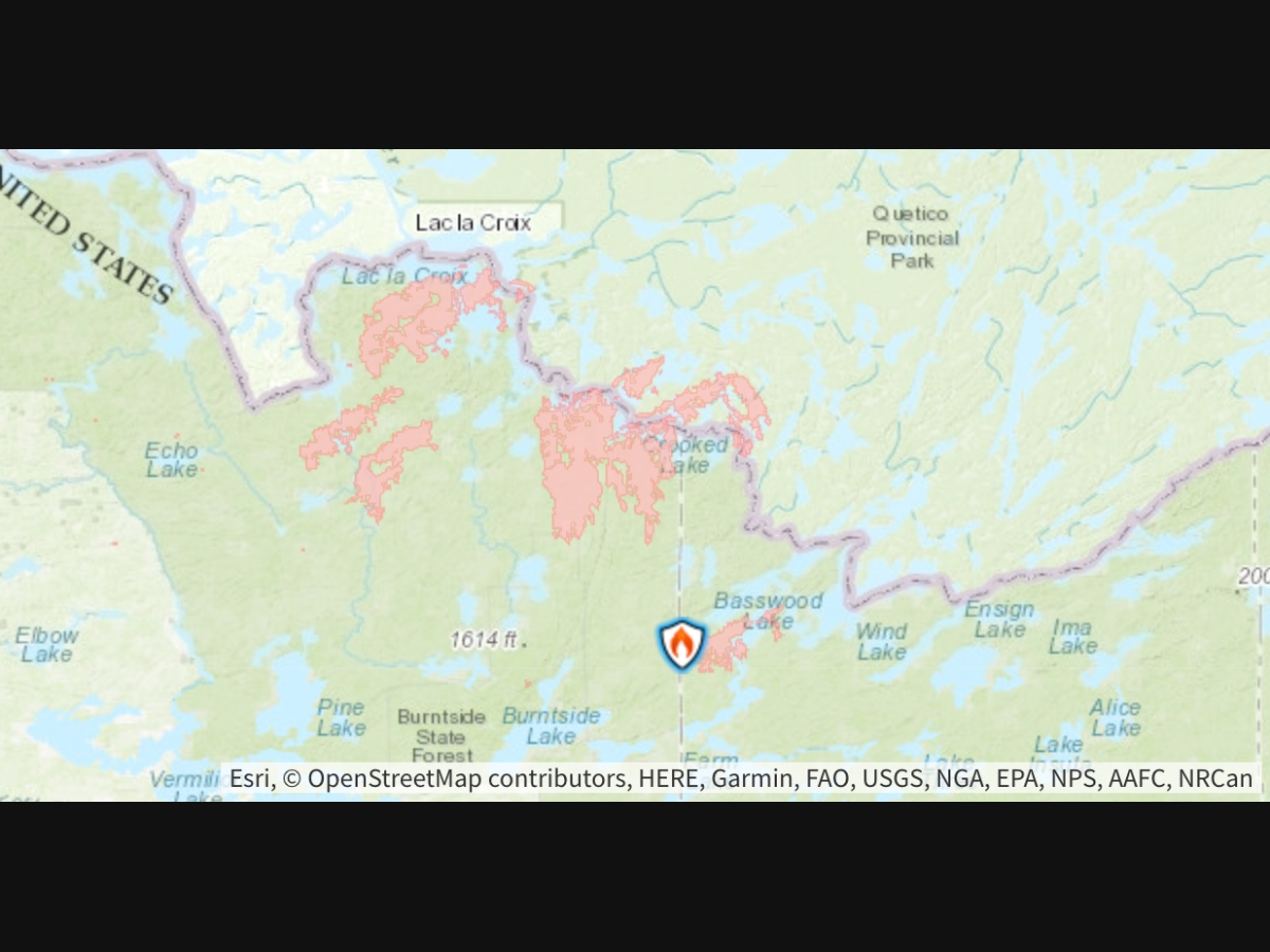
ELY, MN — Nine days after a lightning storm sparked the first blazes, 15 active wildfires are burning across the Superior National Forest, four of them inside the Boundary Waters Canoe Area Wilderness, with a combined footprint of roughly 44,200 acres on the U.S. side.
Evacuation orders now stretch across three counties, and officials say the forest has not seen fire conditions this widespread and extreme in more than 20 years.
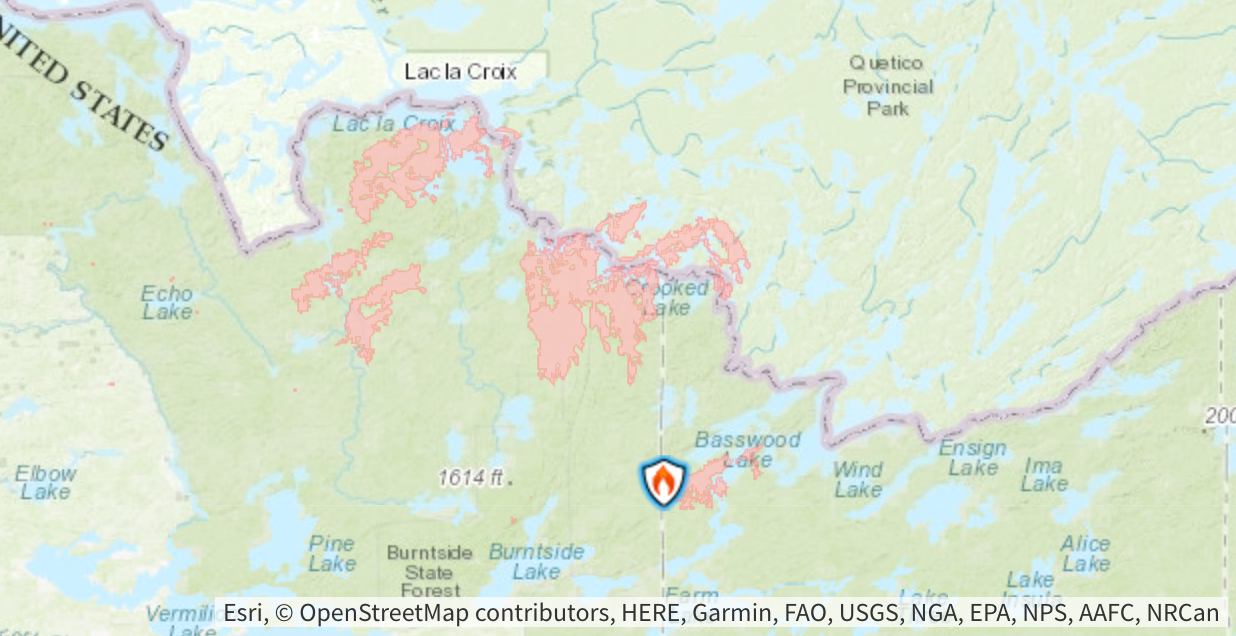
The Camp Fire, five miles north of Winton, has grown to about 2,886 acres and is showing extreme fire behavior, according to the latest Forest Service fact sheet, with large growth reported both during the day and overnight.
Find out what's happening in Across Minnesotafor free with the latest updates from Patch.
Authorities on Thursday described crowning, running, and torching fire behavior, with numerous structures and energy infrastructure threatened.
The fire had briefly been declared fully contained before it broke through its containment lines and rapidly grew.
Find out what's happening in Across Minnesotafor free with the latest updates from Patch.
Firefighters are conducting structure protection and suppression.
The Thumb Fire, remote and located six miles south of the Gakijiwanong Anishnaabe Nation in Canada, has grown to approximately 14,500 acres and has crossed into Canada, where aircraft continue suppression efforts on the U.S. side.
The Bear Trap Fire, which merged with the Dark Fire south of Lac La Croix, is now approximately 13,500 acres and has also crossed into Canada, showing extreme fire behavior with crowning, torching, and spotting.
The Sioux Fire, formed after the Wolfpack and Sioux fires merged, is estimated at nearly 6,922 acres and continues to show wind-driven spotting outside the Boundary Waters Canoe Area Wilderness.
The Little Knife Fire, which crossed into the eastern BWCAW from a much larger blaze burning in Ontario, is estimated at 6,000 acres on the U.S. side of a fire that has burned a total of 30,000 acres.
Two new fires were reported Wednesday: the Crescent Fire on an island in Crescent Lake near Tofte, and the Birch Island Fire near Snowbank Lake. Both remain small.
EVACUATIONS
As of Wednesday, residents and visitors in the following areas are under evacuation orders or notices:
- Fernberg corridor (Lake County Highway 16), from the Garden Lake Bridge to the end of the Fernberg at Lake One
- Echo Trail, from Big Lake to the 200 Road, near the Sioux Fire
- Areas around the Marion Creek, Ridge, Beaver Tail, Coffin and Echo 2 fires
- Northern Gunflint Trail area, near the Little Knife Fire (Cook County)
- Evacuations in effect near the Camp Fire, north of Winton
- The entire Boundary Waters Canoe Area Wilderness, under an expanded closure order
- Forest-wide fire restrictions, including a ban on campfires
- The Fernberg corridor and Echo Trail, closed to travel
The Twin Cities metro and most of Minnesota is under a rare "maroon" air quality alert, the most severe tier on the index, as wildfire smoke from northern Minnesota pushes south.
Get more local news delivered straight to your inbox. Sign up for free Patch newsletters and alerts.