Weather
Update: Severe Weather, Strong Winds, Tornadoes Targeting NJ Monday
Severe weather is increasingly likely for much of New Jersey on Monday, the National Weather Service says. See the possible impacts.

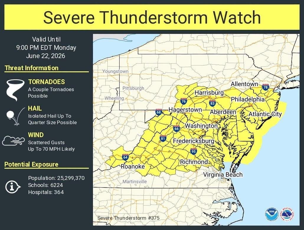
Buckle up, New Jersey. Severe thunderstorms, damaging wind and even tornadoes may be in store for much of the state on Monday.
The National Weather Service said "confidence is increasing" in the likelihood of "some potentially significant" storms on Monday afternoon and evening.
"The primary hazard is expected to be damaging winds, though a few tornadoes will also be possible,"
the weather service said. Wind gusts could be 40 mph or more.
Find out what's happening in Across New Jerseyfor free with the latest updates from Patch.
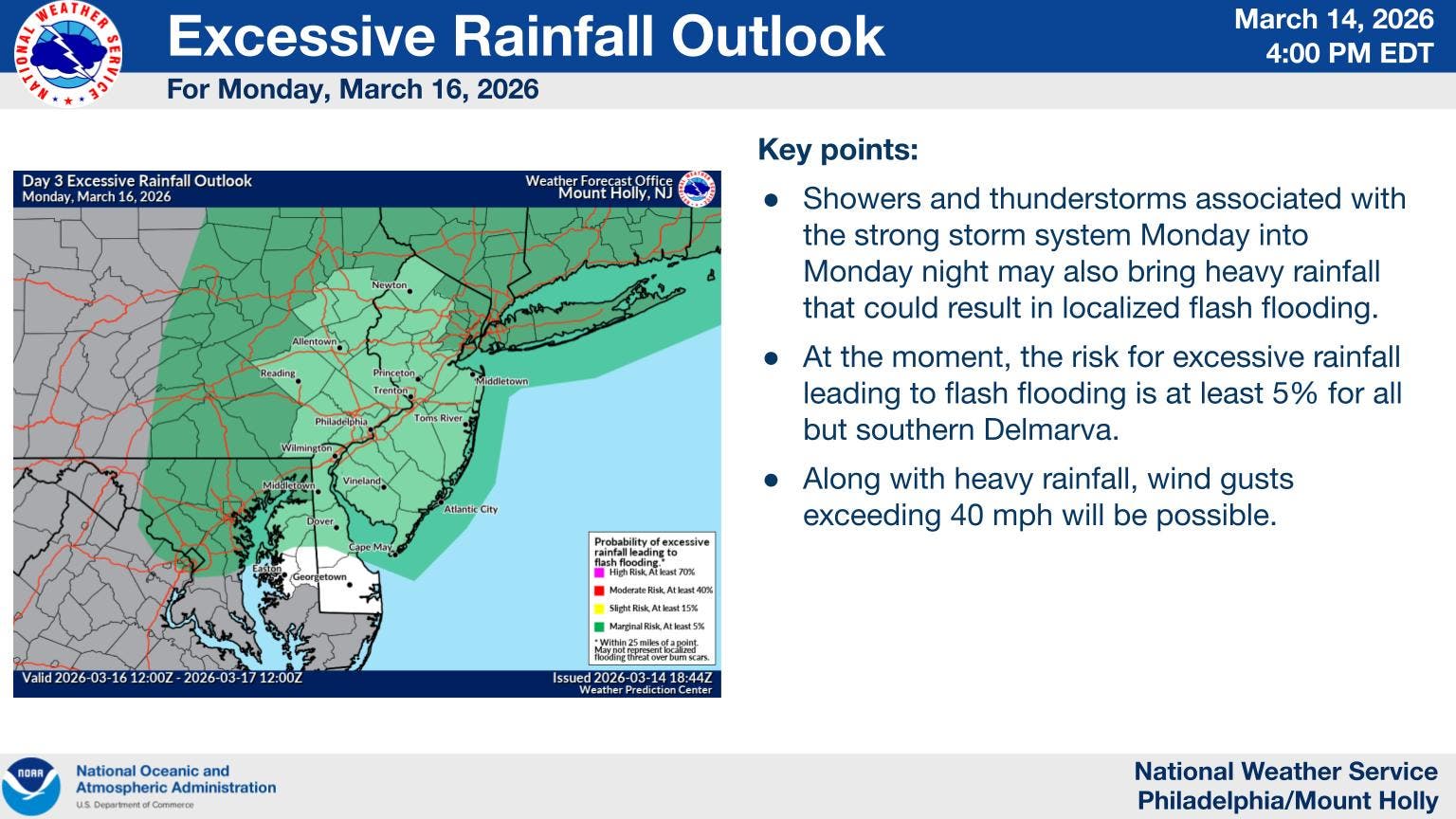
Heavy rain that could cause flash flooding is possible as well, the weather service said, with 1 to 1.5 inches of rain forecasted.
Monday is expected to start out warm with high temperatures in the upper 60s due to a warm front expected to move in that will bring "a deep moisture plume into the region."
Find out what's happening in Across New Jerseyfor free with the latest updates from Patch.
A strong cold front will create the instability that could cause the storms, the forecasters said, and will drop temperatures back close to freezing for the middle of the week.
As the cold front moves offshore Monday, "model guidance is highlighting the potential for snow on the back side of the
front, however we anticipate that the most likely solution is
that as the cold air arrives, it will also be ushering in quite
dry air and so while there may be a few flurries or light snow
showers, any impactful accumulation is not expected," the weather service said.
Get more local news delivered straight to your inbox. Sign up for free Patch newsletters and alerts.