Weather
Thunderstorms In Forecast For Hoboken, Jersey City: See Timing, Track Storm
More than an inch of rain and thunderstorms are possible in Hudson County this weekend. See the timing and track the hurricane below.


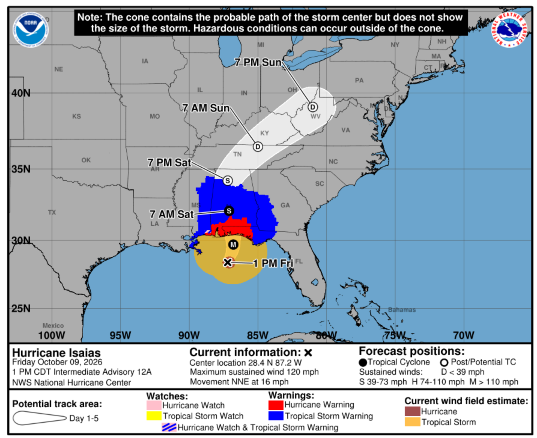
HUDSON COUNTY, NJ — While a tropical depression from Hurricane Isaias is not expected to reach North Jersey this weekend, the remnants of the storm may. At least an inch of rain may fall on Hudson County on Sunday, forecasters say.
The National Weather Service predicts "periods of rain," mainly after 2 p.m., on Sunday afternoon.
However, winds could gust up to 24 MPH later. Up to a half inch of rain may fall in the afternoon, with up to three-quarters of an inch of rain by early Monday, forecasters say.
Find out what's happening in Hobokenfor free with the latest updates from Patch.
Thunderstorms may arrive between 11 p.m. and 2 a.m., forecasters say.
Columbus Day is expected to be cloudy in the morning, with a 30 percent chance of rain before 8 a.m., and mostly sunny later, with a high of 71.
Find out what's happening in Hobokenfor free with the latest updates from Patch.
Track the hurricane here and with local forecast links below.
Residents can report a clogged sewer to the NHSA hotline at (866) 689-3970.
- Keep an eye on the radar here.
- Check out the Accuweather Minutecast here.
- See a current map of all watches and warnings in New Jersey here.
- The NOAA (National Oceanic and Atmospheric Administration) keeps us informed about larger weather events. Follow them here.
Updated NWS forecasts, watches, and warnings in each county:
What about the rivers? This NWS map of the United States will show the potential for river flooding.
RELATED STORY: Jersey City Responders Rescue 69 People From Floodwaters
Get more local news delivered straight to your inbox. Sign up for free Patch newsletters and alerts.