Weather
Stormy Easter Weekend On Tap In Philly Area: See Full Forecast
Drastic temperature variations and the general "unsettled" pattern will continue, forecasters said.

A rainy Easter weekend is on tap in the greater Philadelphia area, with rain likely Saturday night through Sunday night, according to the National Weather Service.
It will come after a few tumultuous days in the middle of the week. Thunderstorms arrived Wednesday, heralding a sharp temperature drop early Thursday morning.
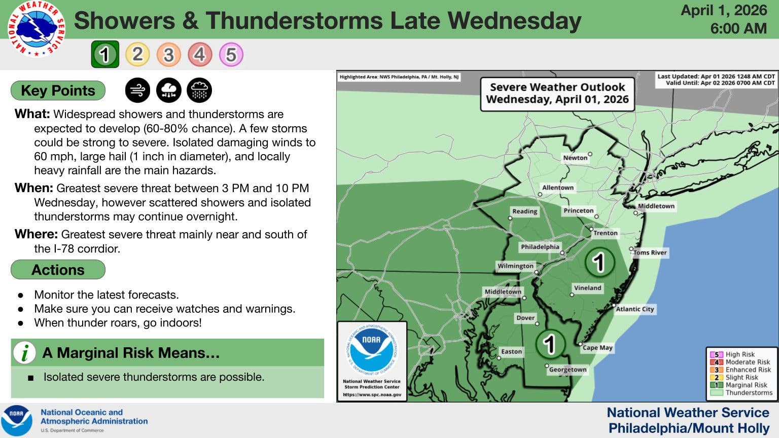
Drastic temperature variations will continue, with high temperatures potentially reaching 80 degrees and breaking records on Wednesday. Cool air will move in with the storm and the low will plummet all the way to 45 on Thursday night, forecasters said.
Find out what's happening in Across Pennsylvaniafor free with the latest updates from Patch.
"The pattern leading into Easter will bring several warm days," Accuweather notes. "By late Wednesday afternoon, the metro area will have experienced three days in a row with highs in the 70s to the lower 80s. Temperatures will still dip sharply on Thursday, courtesy of a backdoor cool front, which is a common occurrence in the springtime in the (mid-Atlantic) area."
Temperatures will soar back up to 82 by Saturday.
Find out what's happening in Across Pennsylvaniafor free with the latest updates from Patch.
Rain will begin at around 8 p.m. Saturday night and are likely to continue until about 8 p.m. Sunday night, according to forecasters.
Here's the full forecast through the weekend for the Philly area, according to the National Weather Service:
Wednesday
A chance of showers and thunderstorms, then showers likely and possibly a thunderstorm after 5 p.m. Partly sunny, with a high near 80. West wind around 10 mph. Chance of precipitation is 60 percent. New rainfall amounts between a tenth and quarter of an inch, except higher amounts possible in thunderstorms.
Wednesday Night
Showers and possibly a thunderstorm before 2 a.m., then a chance of showers. Low around 50. Northeast wind 5 to 10 mph. Chance of precipitation is 80%. New rainfall amounts between a quarter and half of an inch possible.
Thursday
A chance of showers, mainly between 8 a.m. and 2 p.m. Mostly cloudy, with a high near 53. East wind around 10 mph, with gusts as high as 20 mph. Chance of precipitation is 30 percent. New precipitation amounts of less than a tenth of an inch possible.
Thursday Night
A chance of showers, mainly between 8pm and 2am. Cloudy, with a low around 45. East wind 5 to 10 mph. Chance of precipitation is 30 percent.
Friday
Partly sunny, with a high near 77. Light and variable wind becoming southwest 5 to 10 mph in the morning. Winds could gust as high as 20 mph.
Friday Night
Partly cloudy, with a low around 61.
Saturday
Mostly sunny, with a high near 82.
Saturday Night
A chance of showers after 8 p.m. Mostly cloudy, with a low around 61. Chance of precipitation is 30 percent.
Sunday
Showers. High near 71. Chance of precipitation is 80 percent.
Sunday Night
Showers, mainly before 8 p.m. Low around 41. Chance of precipitation is 80 percent.
Monday
Sunny, with a high near 56.
Monday Night
Mostly clear, with a low around 39.
Tuesday
Partly sunny, with a high near 57.
Get more local news delivered straight to your inbox. Sign up for free Patch newsletters and alerts.


