Weather
Severe Weather Threat Returns To Pittsburgh Area
The National Weather Service says to be on the lookout for severe storms and possible tornadoes in and around Pittsburgh.

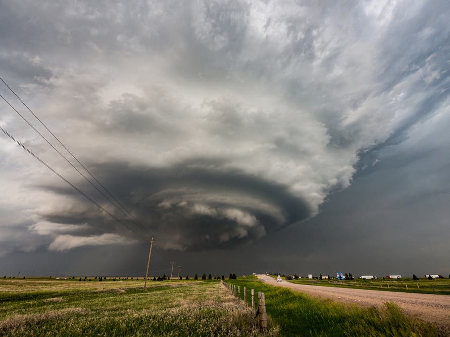
PITTSBURGH, PA — After several tornadoes slammed through the Pittsburgh area over the weekend, more severe weather appears to be on the way.
According to the National Weather Service, there is a risk of strong storms tonight. The main hazard is expected to be damaging wind, though isolated tornadoes and large hail are also possible.
The storms are expected to occur between 11 p.m. this evening and 7 a.m. on Thursday. The chance of precipitation during that time is 80 percent.
Find out what's happening in Pittsburghfor free with the latest updates from Patch.
In addition, wind gusts around 40 mph are likely on Thursday, especially in the afternoon and early evening. The weather service says that if the potential for stronger wind increases, a Wind Advisory could be needed.
The weather alert comes a day after the confirmation of two tornadoes touching down in Butler County after a swath of severe storms moved through the region on Sunday.
Find out what's happening in Pittsburghfor free with the latest updates from Patch.
The first, near the western portion of the north shore of the Moraine State Park lake, was rated an EF1. That means it had maximum wind speeds between 86 and 110 mph.
The second twister occurred between Muddy Creek Drive near the intersection with Route 8. It's been rated an EF0, with winds between 60 and 85 mph.
Get more local news delivered straight to your inbox. Sign up for free Patch newsletters and alerts.