Weather
Dramatic Weather Shift Coming To VA: See Forecast, Timing
Several daily high temperature records were broken across the region this week, but changes are coming to NoVA, according to forecasts.

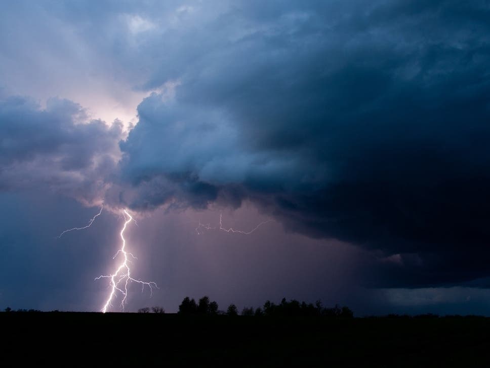
After several days of summer-like heat, a dramatic shift in the weather is coming to Northern Virginia, with temperatures dropping as much as 50 degrees and even a snow flurry possible, according to the latest forecasts.
So far this week, temperatures in the D.C. region have challenged daily records, reaching levels more typical of summer than early spring, AccuWeather forecasters said Thursday.
On Wednesday, Washington, D.C. hit 90 degrees, while nearby Baltimore reached a high of 91 degrees. Both were the earliest 90-degree days since April 2013.
Find out what's happening in Old Town Alexandriafor free with the latest updates from Patch.
But that's about to change, according to forecasts.
While high temperatures will remain in the 80s through Saturday, a wedge of cool air is expected to move into the D.C. region on Sunday.
Find out what's happening in Old Town Alexandriafor free with the latest updates from Patch.
.jpg)
According to the National Weather Service, temperatures will either hold steady in the 50s or fall over the course of the day on Sunday. Morning showers are also possible, but should wind down, giving way to drier conditions during the afternoon.
Another system will pass overhead Sunday night, bringing a secondary surge of colder air from the northwest as it
departs.
"Temperatures should drop into the 30s for most (lower 40s
southeast of I-95), with snow showers possible in the mountains," NWS forecasters wrote. "A stray flurry or two could even be possible to the east of the mountains late Sunday night or early Monday morning."
Temperatures are forecast to climb into the 50s for most on Monday, with northwesterly winds potentially gusting to between 20 and 30 mph.
Meanwhile, a high-pressure system is expected to approach Northern Virginia from the northwest Monday night. Depending on the system's position and if winds go calm, there could be frost or freeze concerns Monday night, NWS forecasters said. Low temperatures are currently forecast to be in the 30s for most locations.
"A temperature drop of 30-50 degrees or more can have real consequences for crops and early blooms," AccuWeather Senior Meteorologist Tyler Roys said Thursday. "Warmth has accelerated budding, and now a sudden frost or freeze could damage or even wipe out sensitive vegetation."
Here's a look at the detailed NWS forecast for the D.C. region:
Friday: Mostly sunny, with a high near 82. Northwest wind 7 to 11 mph, with gusts as high as 21 mph.
Friday Night: Mostly clear, with a low around 61. Northeast wind 3 to 6 mph.
Saturday: Mostly sunny, with a high near 84. East wind 7 to 10 mph.
Saturday Night: A chance of showers. Increasing clouds, with a low around 56. Southeast wind 6 to 11 mph, with gusts as high as 20 mph. Chance of precipitation is 50%.
Sunday: Showers, mainly before 2pm. High near 62. Northwest wind 14 to 17 mph, with gusts as high as 31 mph. Chance of precipitation is 80%.
Sunday Night: A chance of showers, mainly before 8pm. Partly cloudy, with a low around 43. Chance of precipitation is 30%.
Monday: Sunny, with a high near 57.
Monday Night: Mostly clear, with a low around 38.
Tuesday: Sunny, with a high near 64.
Get more local news delivered straight to your inbox. Sign up for free Patch newsletters and alerts.