Weather
Powerful Storms To Break Extreme Heat In NoVA: See Latest Timeline
A cold front will extinguish this week's heat wave on Wednesday afternoon, creating ideal conditions for storms and flooding.

A cold front rolling into Northern Virginia on Wednesday afternoon will bring showers and potentially dangerous thunderstorms to the area, the latest forecasts predict.
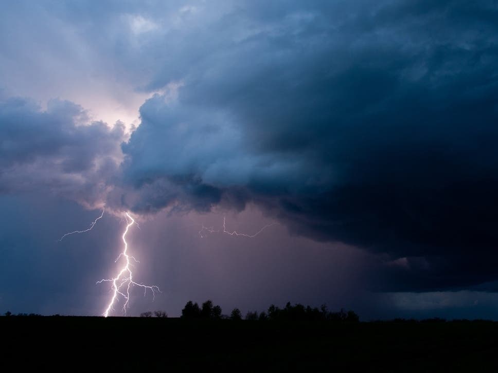
The heat of the past few days will give way to much cooler and wetter conditions beginning around 2 or 3 p.m. Wednesday, the Capital Weather Gang predicts. In addition to rain showers, there is a possibility of strong to severe thunderstorms, with potential for hail and damaging winds until about 9 p.m.
A severe thunderstorm watch issued by the National Weather Service is in effect until 8 p.m. for the cities of Alexandria, Fairfax, Falls Church, Manassas, and Manassas Park. Culpeper, Fairfax, Fauquier, Loudoun, and Prince William counties have also been put under the same alert.
Find out what's happening in Old Town Alexandriafor free with the latest updates from Patch.
According to AccuWeather, stormy conditions with hail and strong wind gusts will cover a 1,000-mile stretch along the Interstate 95 corridor, from Boston to Richmond, and extending into Virginia’s southwest corner. Heavy rains could create flash flooding in some areas, they warn.
.jpeg)
In Northern Virginia, temperatures will drop into the 60s on Wednesday night and into the 50s on Thursday. Rain remains a possibility through Thursday night.
Find out what's happening in Old Town Alexandriafor free with the latest updates from Patch.
Looking ahead, thunderstorms, heavy rain and flash flooding may disrupt Memorial Day weekend plans from Texas to New England as multiple rounds of wet weather track across the eastern half of the country.
According to AccuWeather, the most widespread showers and thunderstorms are forecast each day from Texas to New England during the extended holiday weekend. This includes the D.C. region, forecasters say.
"Rounds of rain and thunderstorms could soak parades, cookouts and travel plans from the Gulf Coast to the Northeast through the holiday weekend," said AccuWeather Senior Meteorologist Dan Pydynowski. "People with outdoor plans or trying to camp this weekend should be prepared for the risk of lightning and flash flooding."
Here's a look at the detailed forecast for Northern Virginia:
Today: A chance of showers and thunderstorms before 4 pm, then showers likely and possibly a thunderstorm between 4 p.m. and 5 p.m., then showers and thunderstorms likely after 5 p.m. Increasing clouds, with a high near 95. Calm wind becoming west 5 to 8 mph in the afternoon. Chance of precipitation is 60 percent.
Tonight: Showers and thunderstorms likely before 5 a.m., then a chance of showers. Cloudy, with a low around 58. North wind 5 to 7 mph. Chance of precipitation is 70 percent.
Thursday: Showers and possibly a thunderstorm. High near 66. North wind around 9 mph. Chance of precipitation is 80 percent.
Thursday night: Showers likely, mainly after 2 a.m. Cloudy, with a low around 53. North wind around 5 mph, becoming calm in the evening. Chance of precipitation is 70 percent.
Friday: Showers, with thunderstorms also possible after 5 p.m. High near 62. East wind 6 to 9 mph. Chance of precipitation is 90 percent.
Friday night: Showers and possibly a thunderstorm. Low around 50. Chance of precipitation is 90 percent.
Saturday: Showers. High near 65. Chance of precipitation is 90 percent.
Saturday night: Showers likely, mainly before 2 a.m. Mostly cloudy, with a low around 55. Chance of precipitation is 60 percent.
Sunday: A chance of showers. Mostly cloudy, with a high near 71. Chance of precipitation is 40 percent.
Sunday night: A chance of showers. Mostly cloudy, with a low around 60. Chance of precipitation is 50 percent.
Memorial Day: A chance of showers and thunderstorms. Mostly cloudy, with a high near 80. Chance of precipitation is 50 percent.
Monday night: A chance of showers and thunderstorms. Mostly cloudy, with a low around 63. Chance of precipitation is 40 percent.
Get more local news delivered straight to your inbox. Sign up for free Patch newsletters and alerts.