Weather
Heavy Storms, Tornadoes Possible Saturday In MD: See Latest Forecast
The storms, which could bring hail and damaging winds, should help clear the Baltimore region of hazardous wildfire smoke.


Multiple rounds of showers and thunderstorms are expected across the Baltimore region and should help clear the state of lingering, hazardous wildfire smoke, according to the latest forecasts.
A cold front was forecast to bring significant wildfire smoke into Maryland late Thursday, with poor air quality expected to persist through Saturday as light winds prevent the smoke from dispersing.
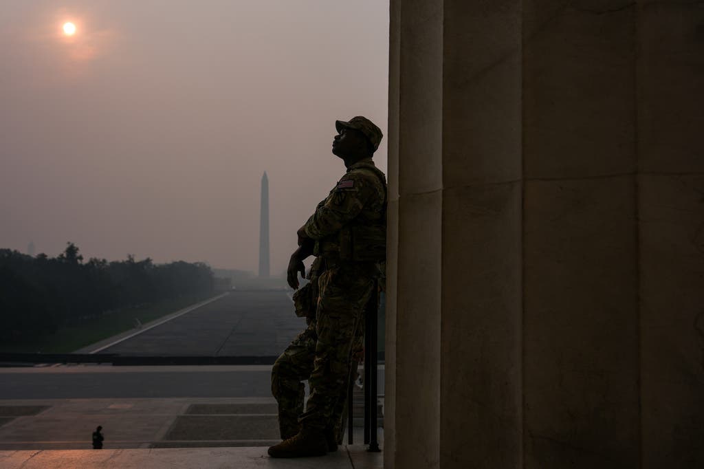
On Friday, a Code Purple air quality alert remained in effect for the Baltimore region as heavy, pungent wildfire smoke darkened skies over the state.
Find out what's happening in Baltimorefor free with the latest updates from Patch.
A Code Purple means that air pollution concentrations within the region are very unhealthy for the general population, according to the Maryland Department of the Environment. Under a Code Purple, the risk of health effects increases for everyone.
As of Friday, the Air Quality Index in Baltimore City was 223. A normal AQI is between 0 and 50.
Find out what's happening in Baltimorefor free with the latest updates from Patch.
“Scientists have found that an air quality reading of about 20 on the AQI scale is roughly like smoking one cigarette a day,” Dr. Jonathan M. Tan, division chief of General Anesthesiology at Children’s Hospital of Philadelphia, told AccuWeather. “So when the AQI climbs into the 150+ range for a full day outside, that’s in the ballpark of 7 to 9 cigarettes.”
The effects of air pollution can be minimized by avoiding strenuous activity or exercise outdoors, officials said. Current air quality forecasts and alerts are available on the Maryland Department of the Environment's website.
Storm Chances Return
On Saturday, rain and storm chances return to the state and could clear the region of some smoke, officials said.
According to the National Weather Service, multiple rounds of showers and thunderstorms are expected early Saturday morning through late Saturday evening.
Forecasters said that with the storms comes the potential for large hail, a couple of tornadoes, and damaging wind gusts, a few of which could approach 70 mph.
"Uncertainty remains in the exact timing and how widespread severe thunderstorms might be," NWS forecasters said. "In addition, very heavy rain could result in a few instances of flash flooding."
In a forecast released Friday, Capital Weather said the greatest chance for severe weather will be after 2 p.m. Saturday. Meanwhile, on Sunday, a couple of stray, brief showers or storms are possible, but much of the day should be dry.
Detailed Baltimore-Area Forecast
Friday: Widespread smoke. Partly sunny, with a high near 91. Light and variable wind becoming northwest around 5 mph in the afternoon.
Friday Night: Widespread smoke, mainly before 4am. Mostly cloudy, with a low around 73. Light south wind.
Saturday: A slight chance of showers and thunderstorms before 1pm, then showers and possibly a thunderstorm after 2pm. Areas of smoke before 9am. High near 92. Light south wind becoming southwest 5 to 10 mph in the morning. Winds could gust as high as 18 mph. Chance of precipitation is 90%. New rainfall amounts between a quarter and half of an inch possible.
Saturday Night: Showers and possibly a thunderstorm before 2am, then a slight chance of showers. Low around 73. West wind around 7 mph. Chance of precipitation is 80%. New rainfall amounts between a tenth and quarter of an inch, except higher amounts possible in thunderstorms.
Sunday: Mostly sunny, with a high near 87. North wind around 8 mph.
Sunday Night: Mostly clear, with a low around 67.
Monday: Sunny, with a high near 87.
Monday Night: Partly cloudy, with a low around 71.
Tuesday: A chance of showers and thunderstorms after 2pm. Partly sunny, with a high near 91. Chance of precipitation is 30%.
Get more local news delivered straight to your inbox. Sign up for free Patch newsletters and alerts.