Kids & Family
Jersey Shore Beach Report: Hot, Hotter, Then A Break
Sunscreen and plenty of water are essential if you're planning to spend time on the beach for the Fourth of July.

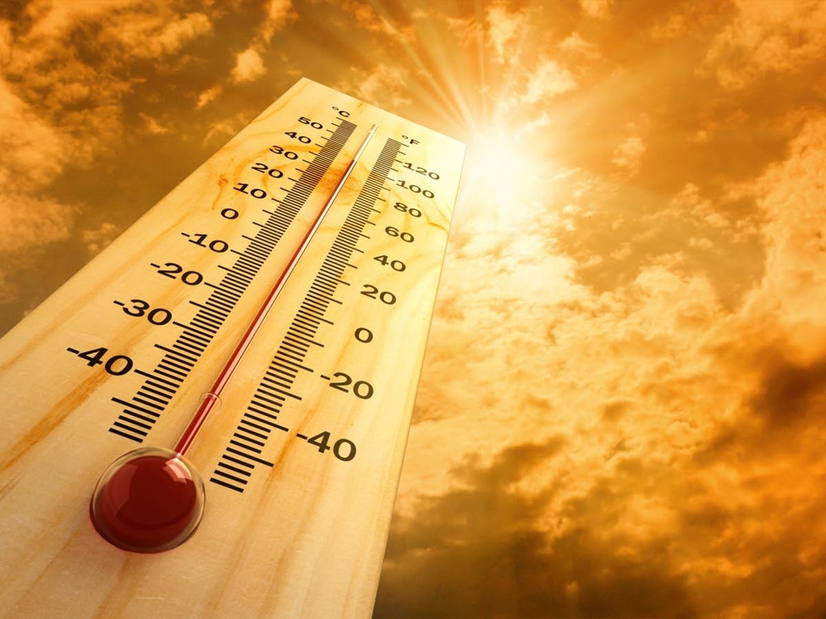
It's a sun-worshiper's dream for most of the Fourth of July weekend at the Jersey Shore, with a forecast of tons of sunshine and heat.
For those headed to the beach to seek relief from the temperatures baking towns away from the coast, be prepared with sunscreen and plenty of water because the heat is still expected to be oppressively hot until Saturday.
Here is a look from Patch at the beach forecast for the Fourth of July weekend, including the latest on rip currents and jellyfish sightings and when the high tides might interfere with your spot on the beach.
Find out what's happening in Point Pleasantfor free with the latest updates from Patch.
For those spending the weekend on boats in the various bays, the weather should be good. One heads up: Those who access the beach on the bay side of Island Beach State Park must pay a fee now. Park officials announced the fee, which is $3 cash per person. Learn more about the options: New Fee For Boaters At This Jersey Shore Beach
Need beach badges? 2026 Jersey Shore Beach Badge Guide: See Season Passes, Price Changes
Find out what's happening in Point Pleasantfor free with the latest updates from Patch.
THE FORECAST
From the National Weather Service
Thursday: Sunny with a high near 90. Heat index over 100 degrees. South wind 10 to 15 mph. Clear skies overnight with a low of 78 and a southwest wind 10 to 15 mph.
Friday: More sunshine and a high temperature near 95, with a heat index well above 100. West wind of 5 to 10 mph becoming south in the afternoon. Isolated showers and thunderstorms at night but mostly clear with a low of 77 degrees. West wind 5 to 10 mph.
Fourth of July: Mostly sunny with a high of 93 and a continuing heat index near 100 degrees. There is a 40 percent chance of thunderstorms anytime in the morning and early afternoon, but they are not expected to last long. The chance increases to 50 percent in the evening before 2 a.m. Mostly cloudy overnight with a low of 74.
Sunday: Slightly cooler with a high in the mid-80s and partly sunny. There is a 40 percent chance of thunderstorms or showers at some point after 2 p.m., increasing to 60 percent as the evening progresses. Mostly cloudy overnight with a low of 71.
Monday-Thursday: Showers are expected to start the week, along with welcome more tolerable temperatures of the mid-70s to mid-80s. Some clouds will remain into Wednesday.
RIP CURRENTS: There is a low to moderate risk of rip currents for the holiday weekend. Remember, only go in the water where there are lifeguards present. Do not swim after hours. Read up on what to look for to identify rip currents: Rip Currents In NJ: What To Look For, How To Survive Them
JELLYFISH: Warnings continue about clinging jellyfish in back bays and river mouths. The New Jersey Jellyspotters Facebook group has had multiple reports about the jellyfish, which live in aquatic vegetation. Because of that, people should be careful about wading.
Just in case, bring some white vinegar and some calamine lotion to treat jellyfish stings. Paul Bologna, the jellyfish expert and director of the marine biology program at Montclair State University, offers these tips: Apply white vinegar immediately. This stops any stinging cells that have not fired in the tentacles. Rinse the sting area with the salt water you are in to wash away tentacles. "Do not use bottled water to rinse as osmotic shock will cause stinging cells left behind to fire and continue to sting," he says. Wipe the area clean with a clean towel or cloth. Benadryl or calamine lotion can help with itching, and over-the-counter pain medicines can be used for pain from the stings depending on the severity.
SURF FORECAST
From the National Weather Service
Thursday
Rip Current Risk: Moderate
Surf Height: 1-2 feet
Thunderstorm Potential: None
UV Index: Very high
Water Temperature: Low 70s
Sunrise: 5:29 a.m.
Sunset: 8:31 p.m.
Friday
Rip Current Risk: Low
Surf Height: 1-2 feet
Thunderstorm Potential: Low
UV Index: Very high
Water Temperature: Low 70s
Sunrise: 5:30 a.m.
Sunset: 8:30 p.m.
Fourth of July
Rip Current Risk: Low
Surf Height: 1-2 feet
Thunderstorm Potential: Low
UV Index: Very high
Water Temperature: Low 70s
Sunrise: 5:30 a.m.
Sunset: 8:30 p.m.
Sunday
Rip Current Risk: Low
Surf Height: 1-2 feet
Thunderstorm Potential: Moderate
UV Index: Very high
Water Temperature: Low 70s
Sunrise: 5:31 a.m.
Sunset: 8:30 p.m.
TIDES
From NOAA Tide Predictions
Sandy Hook (at Fort Hancock)
- Thursday: Low 4:12 p.m., High 10:12 p.m.
- Friday: High 10:51 a.m., Low 4:49 p.m.
- Fourth of July: Low 5:26 a.m., High 11:32 a.m., Low 5:27 p.m.
- Sunday: Low 6 a.m., High 12:16 p.m., Low 6:11 p.m.
Long Branch Fishing Pier
- Thursday: Low 3:36 p.m., High 9:46 p.m.
- Friday: High 10:25 a.m., Low 4:13 p.m.
- Fourth of July: Low 4:50 a.m., High 11:06 a.m., Low 4:51 p.m.
- Sunday: Low 5:24 a.m., High 11:50 a.m., Low 5:35 p.m.
Belmar
- Thursday: Low 3:27 p.m., High 9:37 p.m.
- Friday: High 10:16 a.m., Low 4:04 p.m.
- Fourth of July: High 10:57 a.m., Low 4:42 p.m.
- Sunday: Low 5:15 a.m., High 11:41 a.m., Low 5:26 p.m.
Manasquan Inlet/Point Pleasant Beach
- Thursday: Low 3:48 p.m., High 10 p.m.
- Friday: High 10:39 a.m., Low 4:25 p.m.
- Fourth of July: Low 5:02 a.m., High 11:20 a.m., Low 5:03 p.m.
- Sunday: Low 5:36 a.m., High 12:04 p.m., Low 5:47 p.m.
Seaside Heights
- Thursday: Low 3:40 p.m., High 9:42 p.m.
- Friday: High 10:21 a.m., Low 4:17 p.m.
- Fourth of July: High 11:02 a.m., Low 4:55 p.m.
- Sunday: Low 5:28 a.m., High 11:46 a.m., Low 5:39 p.m.
Barnegat Inlet
- Thursday: Low 3:57 p.m., High 10:06 p.m.
- Friday: High 10:38 a.m., Low 4:35 p.m.
- Fourth of July: Low 5:26 a.m., High 11:20 a.m., Low 5:17 p.m.
- Sunday: Low 6:04 a.m., High 12:04 p.m., Low 6:08 p.m.
Atlantic City (Ocean)
- Thursday: Low 3:31 p.m., High 9:59 p.m.
- Friday: High 10:29 a.m., Low 4:10 p.m.
- Fourth of July: Low 5:04 a.m., High 11:09 a.m., Low 4:55 p.m.
- Sunday: Low 5:43 a.m., High 11:51 a.m., Low 5:46 p.m.
Longport/Ocean City
- Thursday: Low 3:55 p.m.
- Friday: Low 4:54 a.m., High 10:48 a.m., Low 4:37 p.m.
- Fourth of July: Low 5:32 a.m., High 11:33 a.m., Low 5:23 p.m.
- Sunday: Low 6:12 a.m., High 12:20 p.m., Low 6:16 p.m.
Strathmere
- Thursday: Low 4:09 p.m.
- Friday: Low 5:06 a.m., High 11 a.m., Low 4:48 p.m.
- Fourth of July: Low 5:42 a.m., High 11:40 a.m., Low 5:33 p.m.
- Sunday: Low 6:21 a.m., High 12:22 p.m., Low 6:24 p.m.
Wildwood Crest
- Thursday: Low 3:39 p.m.
- Friday: Low 4:33 a.m., High 10:31 a.m., Low 4:20 p.m.
- Fourth of July: Low 5:11 a.m., High 11:12 a.m., Low 5:05 p.m.
- Sunday: Low 5:51 a.m., High 11:56 a.m., Low 5:56 p.m.
Cape May Point, Atlantic Ocean
- Thursday: Low 4:34 p.m.
- Friday: Low 5:25 a.m., High 11:39 a.m., Low 5:16 p.m.
- Fourth of July: Low 6:03 a.m., High 12:19 p.m., Low 6:02 p.m.
- Sunday: Low 6:43 a.m., High 1:02 p.m., Low 6:52 p.m.
Get more local news delivered straight to your inbox. Sign up for free Patch newsletters and alerts.